Skip to content
SnapVoyagesIndependent cruise information
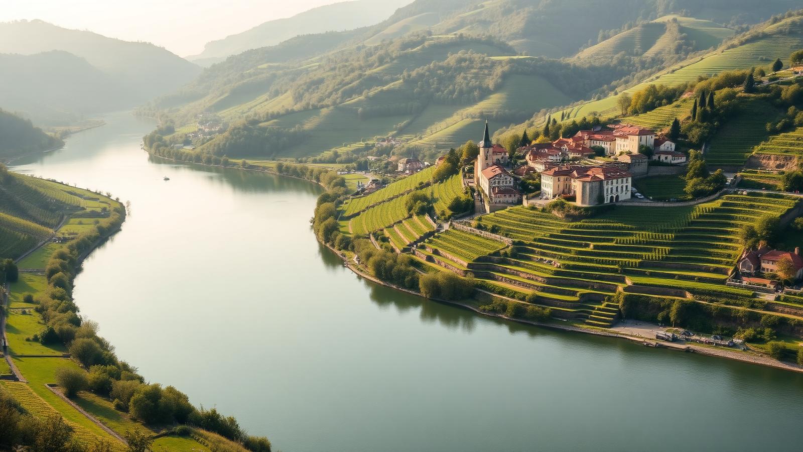
Illustrative AI-generated scene of a wide river curving through a green valley with terraced vineyards and a small riverside town

River cruise system

Danube River Cruises

The Danube is the second-longest river in Europe and the only major one that flows west to east, from the Black Forest to the Black Sea. Cruising it means moving along a single corridor through ten countries, with cities on the bank rather than destinations across open water.

The short answer

A Danube voyage is defined by direction and sequence. You board at one end of a stretch and leave at the other, and the geography changes gradually rather than in jumps: Alpine foothills, then vineyard terraces, then open plain, then a gorge, then delta wetland. Nothing is repeated, and there is no returning to a home port mid-voyage.

The river is not uniform. The stretch above Vienna is regulated by dams and locks and passes through a narrow, green valley; the stretch below Budapest is wide, flat and much less built up, and stops there are more often a coach ride from the place being visited. These are different experiences that happen to share a river, which is why voyages are usually sold as one half or the other rather than the whole length.

At a glance

Where it runs
Central and south-eastern Europe, from southern Germany to the Black Sea
Length
About 2,850 km from source to delta
Countries
Flows through or borders Germany, Austria, Slovakia, Hungary, Croatia, Serbia, Romania, Bulgaria, Moldova and Ukraine
Cruised stretch
Mainly Nuremberg or Passau to Budapest, and Budapest to the Danube Delta
Season
Roughly April to October, with a short Christmas-market period in December
Main start and end points
Nuremberg, Passau, Vienna, Budapest, Tulcea

The Danube as a corridor

  1. River

    Danube

    Central and south-eastern Europe, from southern Germany to the Black Sea

  2. Cruised stretch

    Mainly Nuremberg or Passau to Budapest, and Budapest to the Danube Delta

  3. Stretches

    3 in downstream order

    Upper Danube → Middle Danube → Lower Danube

  4. Places along it

    15 cities and stops

    Listed in downstream order further down this page.

Why a river is not a region

One waterway, in a fixed order

A cruise region can be entered from several directions. A river corridor can only be travelled upstream or downstream along the same line.

Because the Main–Danube Canal links the Danube to the Main and the Rhine, the Danube is also part of a continuous inland waterway across Europe. That is a navigational fact rather than a common itinerary: most vessels work one river system at a time.

The Danube corridor

The river's own course, with the cities river cruises use. Select a stretch to focus on it.

UKRAINESWITZERLANDSERBIAROMANIAITALYHUNGARYCZECHIABULGARIABOSNIA AND HERZ.BELGIUMAUSTRIANurembergPassauLinzMelkKrems an der DonauViennaBratislavaBudapestMohácsBelgradeIron GatesVidinRuseGiurgiuTulcea

Every city on the map

  • NurembergGermany, start or end point.
  • PassauGermany, stop, and a start or end point.
  • LinzAustria, stop along the way, serving Linz, and inland to Salzburg.
  • MelkAustria, stop along the way.
  • Krems an der DonauAustria, stop along the way.
  • ViennaAustria, stop, and a start or end point.
  • BratislavaSlovakia, stop along the way.
  • BudapestHungary, stop, and a start or end point.
  • MohácsHungary, stop along the way.
  • BelgradeSerbia, stop along the way.
  • Iron GatesSerbia / Romania, stop along the way.
  • VidinBulgaria, stop along the way.
  • RuseBulgaria, stop along the way, serving Ruse, and inland to Veliko Tarnovo.
  • GiurgiuRomania, stop along the way, serving Bucharest, roughly 60 km inland.
  • TulceaRomania, stop, and a start or end point.

The line is the river's own course, not the track of any voyage. Cities are the ones needed to understand the corridor, not a complete list of everywhere a vessel can tie up.

What cruising the Danube actually means

One corridor, one direction
The route is the river. Vessels travel upstream or downstream through a fixed sequence of cities, so the choice that matters is which stretch and which direction, not which islands to link together.
Locks are part of the day
Above Vienna the river is regulated by a chain of dams with navigation locks. Transits happen day and night, take time, and set the pace of the voyage.
Cities on the water
On the upper and middle river, moorings are usually in or beside the town, so arriving is a matter of walking off the vessel. This is much less true on the lower river.
The scenery is not evenly distributed
Two stretches are visually distinctive — the Wachau between Melk and Krems, and the Iron Gates gorge. Much of the rest is agricultural plain.
Small vessels, fixed dimensions
Vessel size is limited by lock chambers and bridge clearance, not by demand. Everything about a river ship — length, height, capacity — follows from the waterway.
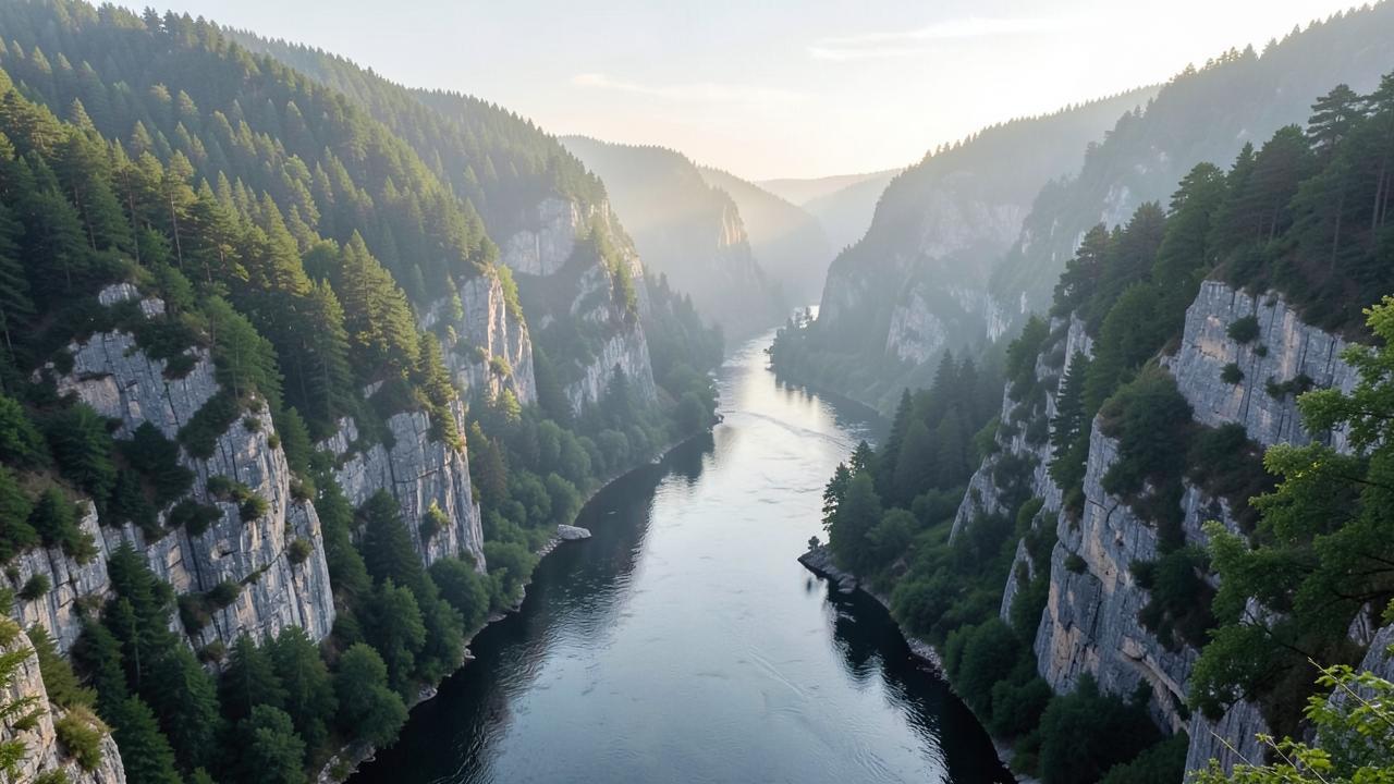
A wide river confined between steep forested limestone cliffs in a deep gorge
Where the corridor narrows into a mountain gorge, the river is deep, the banks are unsettled and the voyage runs for hours without a stop.

Why one river gives you ten countries and three different Europes

The Danube is the only major European river that runs west to east, from the German uplands to the Black Sea. Rivers that run north to south stay inside roughly one cultural and historical zone. A river that crosses a continent sideways passes through several, which is why a single voyage can begin in a Bavarian baroque town and end within sight of the Romanian steppe.

The cruised corridor is normally split rather than sailed whole. The upper river, between Germany and Vienna or Budapest, is the most heavily used: the towns are close together, the locks are frequent and the distances between stops are short. Below Budapest the river widens, the settlements thin out and the ship spends much longer between places, which makes the lower Danube feel like a different kind of voyage even though it is the same water.

The hinge between them is the Iron Gates, the gorge where the river cuts through the Carpathian range on the Serbian–Romanian border. It is both the most dramatic stretch of the corridor and the reason the lower river is navigable at all in its modern form: the gorge was tamed by dam and lock construction in the twentieth century, which raised the water above what had been a notorious set of rapids.

How the three Danube stretches behave differently. Qualitative comparison of geography and routing.
 Distance between stopsWhat the sailing looks likeCharacter of the stops
Upper DanubeShort; several places can fall within one day's running.Frequent locks and a narrow, engineered channel through hill country.Small towns and abbeys, often with the mooring inside the town itself.
Middle DanubeModerate, with the two large capitals close together.A broadening river across the Hungarian plain.Capital cities, where the river frontage is the historic centre.
Lower DanubeLong; hours of sailing between widely separated places.A wide river with the Iron Gates gorge as the exception.Fewer and smaller places, with more travel inland from the moorings.

The main stretches

A river has an order rather than fuzzy edges. These are the stretches the corridor divides into, in the direction the water flows.

Upper Danube

Kelheim and Passau downstream to ViennaGermany, Austria, Slovakia

The stretch most river cruises use as their western half. The river runs through a narrow, largely wooded valley that opens into the vineyard terraces of the Wachau between Melk and Krems, a UNESCO cultural landscape. Cities sit directly on the water, so a vessel usually moors within walking distance of a historic centre.

Navigation: This is the most heavily regulated part of the river: a chain of dams with navigation locks controls the level, which keeps the stretch dependable but means several lock transits a day and a slower average speed than open water.

Middle Danube

Vienna through Bratislava and Budapest to the Iron GatesAustria, Slovakia, Hungary, Croatia, Serbia

The river leaves the Alpine foothills and crosses the Pannonian plain. Distances between cities grow, the banks flatten, and the scenery is agricultural rather than dramatic until the river narrows again at the Iron Gates gorge on the Serbian–Romanian border.

Navigation: Mostly free-flowing and wide. The Iron Gates gorge is passed through two large dam and lock complexes, which is one of the few genuinely spectacular navigation events on any European river.

Lower Danube

The Iron Gates downstream to the Danube Delta and the Black SeaSerbia, Romania, Bulgaria, Moldova, Ukraine

A broad, sparsely built river forming much of the Romanian–Bulgarian border. Cities are fewer and often set back from the water, so a stop here is more likely to involve a coach transfer inland than a walk off the gangway. The river ends in the Danube Delta, a UNESCO-listed wetland.

Navigation: Free-flowing with no locks below the Iron Gates. Mooring points are more basic and further from town centres than on the upper river.

Cities and stops along the river

The main places along the corridor, in downstream order within each stretch.

Cities and stops used by Danube river cruises
PlaceCountryStretchRoleWhy it matters
NurembergGermanyUpper DanubeStart or end pointNot on the Danube itself. It sits on the Main–Danube Canal, which is how vessels move between the Rhine and Danube systems, and is used as a western start or end point.
PassauGermanyUpper DanubeStop, and a start or end pointAt the confluence of the Danube, Inn and Ilz, and the most common German start point for Danube voyages.
LinzAustriaUpper DanubeStop along the wayServes Linz, and inland to Salzburg.
MelkAustriaUpper DanubeStop along the wayThe upstream entrance to the Wachau, a UNESCO cultural landscape.
Krems an der DonauAustriaUpper DanubeStop along the wayThe downstream end of the Wachau stretch.
ViennaAustriaUpper DanubeStop, and a start or end pointA frequent start or end point. River moorings are on the Danube proper, away from the historic centre the city is known for.
BratislavaSlovakiaMiddle DanubeStop along the wayOne of the few capitals where vessels moor directly below the old town.
BudapestHungaryMiddle DanubeStop, and a start or end pointThe most common turnaround point on the river, and the junction between upper-river and lower-river voyages. The Danube banks are inscribed as World Heritage.
MohácsHungaryMiddle DanubeStop along the wayBorder formalities point between the Schengen area and the countries downstream.
BelgradeSerbiaMiddle DanubeStop along the wayAt the confluence of the Sava and the Danube.
Iron GatesSerbia / RomaniaMiddle DanubeStop along the wayA gorge, not a town. The river narrows between the Carpathian ranges and is passed through two dam and lock complexes.
VidinBulgariaLower DanubeStop along the wayA Bulgarian town on the lower Danube, opposite the Romanian bank.
RuseBulgariaLower DanubeStop along the wayServes Ruse, and inland to Veliko Tarnovo.
GiurgiuRomaniaLower DanubeStop along the wayAn example of a lower-Danube stop where the destination is reached by road rather than on foot.
TulceaRomaniaLower DanubeStop, and a start or end pointThe gateway to the Danube Delta and the eastern end point of lower-river voyages.

How voyages are structured

The shapes voyages take along this corridor: where they start, which way they run and how far they reach.

Upper river, Germany to Hungary

Between Nuremberg or Passau and Budapest, taking in Austria and Slovakia. The most commonly operated stretch, and the one with the most walk-off city moorings.

Lower river, Hungary to the Black Sea

Between Budapest and the Danube Delta, through Serbia, Bulgaria and Romania and the Iron Gates. Fewer stops, longer distances between them, and more inland transfers.

Full-length transits

Voyages covering both stretches end to end exist because the waterway is continuous, but they are far less common and take substantially longer.

When voyages operate

The Danube is navigable for most of the year, so the season is set by weather, daylight and demand rather than by ice. Activity builds from April, holds through the summer, and remains strong into October when the vineyard stretches are at their most photogenic.

December is a separate, shorter pattern built around Christmas markets in the German, Austrian and Hungarian cities. It is not an extension of the summer season: the stretch operated is shorter, the days are short, and much of the time on board is spent in port.

January to March sees very little activity. Winter high water, ice risk in cold years and closed shore attractions make the stretch impractical rather than impossible.

Cruise activity through the year — the Danube
Essentially no cruisesLow seasonShoulder periodPeak cruise activity
Read this as a table
Relative cruise activity by month in the the Danube cruise region
MonthCruise activity
JanEssentially no cruises
FebEssentially no cruises
MarLow season
AprShoulder period
MayPeak cruise activity
JunPeak cruise activity
JulPeak cruise activity
AugPeak cruise activity
SepPeak cruise activity
OctPeak cruise activity
NovLow season
DecShoulder period

An indicative pattern of when voyages operate, not a schedule and not a judgement about the best time to travel. December reflects the separate Christmas-market period.

Practical conditions that shape a voyage

Conditions on this river that can change what actually happens on a voyage.

Water level can change the voyage

High water can prevent passage under bridges and low water can reduce draught. Operators respond by swapping vessels, running a stretch by coach, or reversing direction. This is a normal feature of river cruising, not an exception.

Mooring is not always alongside the bank

In busy cities, vessels raft up side by side, and passengers on the outer vessel walk through the inner one to reach shore. Which position a vessel gets is decided locally, not in advance.

Borders on the lower river

Below Hungary the river leaves the Schengen area and crosses several national borders, so document checks are part of the voyage. Entry requirements depend on nationality and are set by each state.

Where the vessel ties up decides the day

On the upper river most stops are walkable; on the lower river the notable places are often well inland. The distance between mooring and destination is the single most useful thing to check.

What to know about the Danube

Key facts

  • About 2,850 km long, second in Europe only to the Volga.
  • It flows through or borders ten countries — more than any other river in the world.
  • The cruised part is effectively Kelheim or Passau to the Black Sea; the reaches above that are too small for cruise vessels.
  • The Main–Danube Canal, open since 1992, links the Danube to the Rhine system.
  • The Wachau valley and the Danube banks in Budapest are inscribed as UNESCO World Heritage.
  • The Iron Gates gorge is passed through two dam and lock complexes on the Serbian–Romanian border.
  • Below the Iron Gates the river is free-flowing, with no further locks to the sea.

What to check when comparing voyages

  • Which stretch the voyage covers — upper, lower or both — since they are very different rivers.
  • The direction of travel, which decides whether the scenic stretches fall in daylight.
  • How many stops are walk-off moorings and how many need a coach transfer.
  • Whether the operator states what happens if water levels prevent normal passage.
  • Whether the itinerary crosses non-Schengen borders, and what documents that requires for your nationality.
  • Whether a December departure is a Christmas-market voyage rather than a normal sailing.
  • Rhine river cruises

    A south-to-north corridor from Basel to the Dutch delta, built around the Upper Middle Rhine Valley gorge.

  • Seine river cruises

    A short French corridor from Paris downstream through Normandy to Rouen and the Seine estuary.

  • Rhône & Saône river cruises

    A north–south French corridor from Burgundy through Lyon to Provence and the Camargue.

  • Douro river cruises

    A short Portuguese valley from Porto upstream through the terraced Alto Douro wine country to the Spanish border.

  • Main and the Main–Danube Canal river cruises

    The German connecting corridor from the Rhine at Mainz through Franconia and the Main–Danube Canal to Kelheim.

  • Moselle river cruises

    A narrow German wine valley from the Rhine at Koblenz upstream past Cochem and Bernkastel to Trier and Luxembourg.

  • Elbe river cruises

    A Czech–German corridor from Prague and the sandstone gorge through Dresden and Magdeburg to Hamburg.

  • Nile river cruises

    A short Egyptian reach between Luxor and Aswan linking the temple sites, plus a separate Lake Nasser circuit.

  • Mekong river cruises

    A Vietnam–Cambodia corridor from the Mekong delta through Phnom Penh towards the Tonlé Sap and Angkor.

  • Mississippi river cruises

    The long North American corridor from New Orleans upstream to St. Paul, with Ohio and Cumberland connections.

  • Columbia & Snake river cruises

    A Pacific Northwest corridor from Astoria and Portland through the Columbia Gorge and up the Snake to Idaho.

  • How river cruising differs from ocean cruising

    The structural differences: locks, water level, city-centre mooring and no sea days.

Sources & verification

Facts on this page are taken from the sources below. Cruise lines are used only as sources for facts about their own operations, never as sources of independent assessment.