Skip to content
SnapVoyagesIndependent cruise information
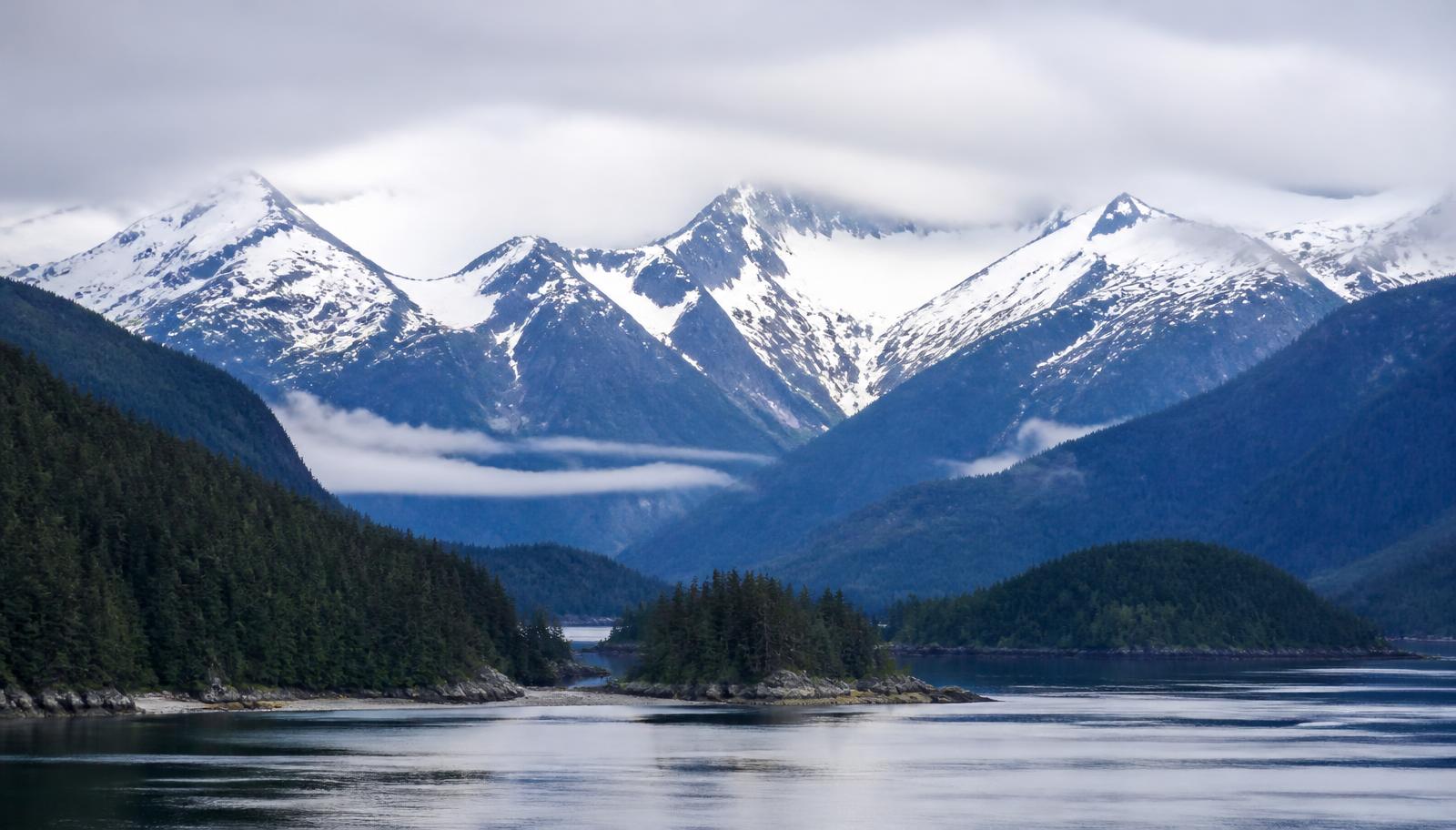
Illustrative image of a calm Alaskan coastal channel with forested slopes and snow-covered mountains in soft daylight

Ocean cruise region

Alaska Cruises

Alaska is a seasonal region with two basic route shapes: round-trip sailings through the sheltered Inside Passage, and one-way sailings that also cross the Gulf of Alaska.

Two route shapes
Round-trip Inside Passage · one-way Gulf
Season
A summer season set by each operator
Scenic cruising
Scheduled, and in Glacier Bay permit-limited

The short answer

The Inside Passage forms the core corridor for mainstream Alaska cruising: a largely protected waterway through the islands of British Columbia and south-east Alaska. Its ports — Juneau, Ketchikan, Skagway, Sitka and Icy Strait Point — are small coastal communities, and several of them, including the state capital Juneau, cannot be reached by road.

Round-trip cruises leave from Seattle or Vancouver and return there. One-way cruises sail between Vancouver and either Seward or Whittier, the two northern turnaround ports that connect onward to Anchorage and the Alaska interior. One-way sailings are the ones normally combined with a land programme.

At a glance

Alaska as a cruise region

The structural facts first, in the order that makes two similar-looking Alaska itineraries readable.

Where it is
The north-west coast of North America, from Seattle and Vancouver north through British Columbia and south-east Alaska to the Gulf of Alaska.
Type of cruise region
Strictly seasonal scenic coastal cruising, mostly on mid-size and large ships.
What defines cruising here
Sheltered inland waterways, small coastal towns that are often road-inaccessible, and scheduled scenic cruising in glacier areas.
Season
A summer-only season; ships are redeployed elsewhere for the rest of the year.
Turnaround ports
Seattle, Vancouver, and the northern turnaround ports of Seward and Whittier.
Main areas
Southern gateways, Inside Passage, Gulf of Alaska.

Scenic cruising is part of the product here in a way it is not in the other two regions: time is scheduled in glacier areas such as Glacier Bay National Park, where the number of cruise ships is limited by permit. Whether an itinerary includes a specific glacier area is a factual difference worth checking before booking.

Two route shapes

Two cruises called Alaska can be different routes

The Inside Passage is the core corridor for mainstream Alaska cruising. The structural question is whether the ship returns to where it started, or continues across the open Gulf of Alaska to a northern port.

Round-trip Inside Passage

  1. Seattle or Vancouver
  2. Inside Passage ports
  3. Scenic cruising
  4. Back to the same port
Gulf of Alaska crossing
No — the ship returns the way it came
Flights
One flight destination at each end
Reaches the interior
No northern turnaround port

One-way Gulf of Alaska

  1. Vancouver
  2. Inside Passage ports
  3. Open Gulf crossing
  4. Seward or Whittier
  5. Onward to Anchorage and the interior
Gulf of Alaska crossing
Yes — open water, motion most likely here
Flights
Needs an open-jaw flight
Reaches the interior
Pattern normally used with a land programme

Scenic cruising is scheduled, not incidental

Hours are set aside for glacier and fjord viewing from the ship. In Glacier Bay National Park the number of cruise ships permitted is limited, so entry depends on the operator holding a permit for that date.

Ports are small communities, not cities

Juneau, Ketchikan, Skagway, Sitka and Icy Strait Point are small towns. Several, including the state capital, have no road connection to the rest of the continent, which is why the ship is the transport.

Two route shapes, not many

Round-trip Inside Passage sailings return to the port they left from. One-way sailings add the open Gulf of Alaska crossing and reach the northern ports that connect to the interior.

The cruise is often half of a longer trip

One-way itineraries are commonly sold together with rail and lodge land programmes inland towards Denali, which changes the length and cost of the whole trip.

Types of operation here

Large-ship seasonal deployment

Mainstream operators move large ships north for the summer and away again in autumn. Capacity, not year-round presence, is what defines this segment here.

Cruise plus land programme

Princess Cruises and Holland America Line both publish their own rail and lodge itineraries into the Alaska interior, sold together with a one-way sailing.

Small-ship and expedition-style operations

A separate, much smaller segment operates vessels that reach places large ships cannot. We do not cover expedition cruising in detail yet, so this is noted rather than documented here.

Why round-trip or one-way is the first real decision in Alaska

In most cruise regions the shape of the route is a detail. In Alaska it decides what you see, how you travel and whether the cruise is the whole trip or half of it. A round-trip sails up the sheltered Inside Passage and comes back down the same corridor; a one-way continues across the Gulf of Alaska and ends at a northern port, so the ship covers new water for its entire length.

That difference propagates outwards. A round-trip returns you to the airport you flew into, which keeps the travel arrangement simple and makes a drive-up or short-haul flight practical. A one-way needs an open-jaw flight, or a land journey at one end, which is exactly why one-way sailings are the ones sold with a rail-and-lodge extension into the interior.

It also changes the water. The Inside Passage is a protected channel behind a barrier of islands, so motion is generally slight and the coast is visible almost continuously. The Gulf crossing is open ocean, which can be lively, and it is the reason a one-way itinerary contains a long stretch with no land in sight before it reaches the northern glacier country.

startand end

Round-trip from a southern gateway

The ship sails north through the Inside Passage and returns down the same sheltered corridor to the port it left.

  • Mostly protected water behind the island barrier.
  • One airport at both ends, so the travel arrangement is simple.
  • Reaches the southeast Alaska communities and the glacier arms off the passage.
startend

One-way across the Gulf

The ship runs the Inside Passage and then crosses the open Gulf of Alaska, ending at a different port from the one it started at.

  • Adds an open-ocean crossing with no land in sight.
  • Needs two airports, or a land journey at one end.
  • Opens the northern glacier country and joins naturally to an interior rail-and-lodge trip.

A third shape exists at the edges of the season: longer repositioning sailings that move ships into or out of the region. They are usually one-way, cover long coastal legs, and contain more sea time and fewer Alaska calls than the season's core itineraries.

Map

Alaska, drawn

Switch between cruise areas, ports, departure gateways and cruise-line presence. Areas are geographic zones, not itineraries. Everything on the map is also listed in text on this page.

The main geographic divisions of the region.

ALASKA (USA)CANADABRITISH COLUMBIAYUKONPacific OceanSouthern gatewaysInside PassageGulf of Alaska
Departure gatewayPort of call
Orientation map. Cruise areas are approximate planning regions, not published itineraries or routes.

Start and end points

Southern gateways and northern turnaround ports

Seattle and Vancouver sit at the southern end; Seward and Whittier at the northern end. Which pair an itinerary uses decides the route shape, the flights and the border formalities.

Seattle

United States · Southern gateways

A U.S. turnaround port for round-trip Inside Passage sailings.

Vancouver

Canada · Southern gateways

The Canadian turnaround port used for both round-trip and one-way Gulf of Alaska sailings.

Seward

United States · Gulf of Alaska

Gateway for Anchorage.

One of the two northern turnaround ports for one-way Gulf of Alaska sailings, connected onward to Anchorage by road and rail.

Whittier

United States · Gulf of Alaska

Gateway for Anchorage.

A port on Prince William Sound, used as a turnaround point for Gulf of Alaska cruises.

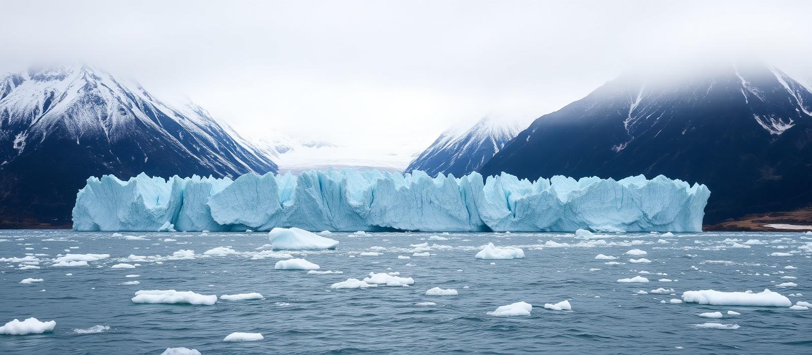
Tidewater glacier meeting cold sea water, with floating brash ice and snow-streaked mountains behind
Tidewater glacier country: ice reaching the sea in steep, mountainous terrain, which is why parts of the route are scenic cruising rather than port calls.

Waterways

Sheltered passage, open gulf, southern gateways

Three areas with different roles rather than three destinations of equal weight.

Southern gateways

Seattle and Vancouver, the two southern turnaround ports. Which one a cruise uses affects the route, and Vancouver sailings can serve one-way itineraries north across the Gulf.

Representative ports: Seattle, Vancouver

Determines whether one-way Gulf itineraries are available and which border formalities apply.

Inside Passage

The sheltered coastal waterway through the islands of south-east Alaska and British Columbia. Most Alaska ports of call sit along it, and much of the scenic cruising happens here.

Representative ports: Juneau, Ketchikan, Skagway, Sitka, Icy Strait Point

Sheltered water, small ports and most of the scheduled scenic cruising; used by nearly every Alaska itinerary.

Gulf of Alaska

The open water north-west of the Inside Passage, crossed on one-way itineraries between south-east Alaska and the northern ports of Seward and Whittier.

Representative ports: Seward, Whittier

Open water crossed only on one-way itineraries, and the link to the interior land programmes.

Scenic cruising

Time spent looking at the coast is part of the itinerary

Scenic cruising is part of the product here in a way it is not in the other two regions: time is scheduled in glacier areas such as Glacier Bay National Park, where the number of cruise ships is limited by permit.

Access is regulated

In Glacier Bay National Park the number of cruise ships permitted is limited, so entry depends on the operator holding a permit for that date. Whether an itinerary includes a specific glacier area is a factual difference worth checking before booking.

Days at sea are not empty days

Time spent moving through fjords and past glaciers is programmed into the schedule. Days that would count as sea days elsewhere are not empty days here.

Ports of call

Small communities along the passage

Grouped by area. Enough to understand the geography, not a complete directory and not destination guides.

Inside Passage

Juneau

United States

Port of call

Alaska's capital, reachable only by sea or air.

Ketchikan

United States

Port of call

The southernmost Alaskan cruise port on the Inside Passage.

Skagway

United States

Port of call

A port at the northern end of the Inside Passage, at the head of the Taiya Inlet.

Sitka

United States

Port of call

A port on Baranof Island, on the outer, Pacific-facing side of the Alaskan panhandle.

Icy Strait Point (Hoonah)

United States

Port of call

A small call site next to Hoonah on Chichagof Island, developed for cruise visits.

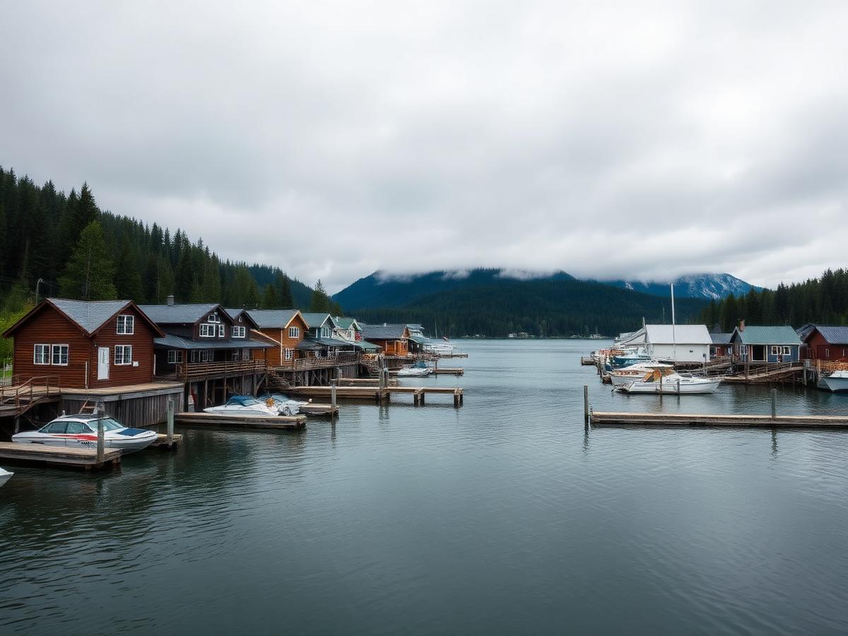
Small coastal community in Southeast Alaska with wooden waterfront buildings and floating docks below forested mountains
A Southeast Alaska waterfront: small communities on a forested channel, reached mainly by water or air.

Season and conditions

A bounded season, not a year-round region

A short summer season; ships are redeployed elsewhere for the rest of the year.

Alaska cruising is concentrated in the summer months. Operators publish their Alaska sailing dates each year, and the season is bounded rather than year-round.

Glacier Bay National Park manages cruise-ship access through a permit and use-day system, so entry to that specific area depends on the operator holding a permit for that date.

Because the season is short and the fleet is limited, the choice of ships and itineraries at the very start and end of the season is narrower.

Cruise activity through the year — Alaska
Essentially no cruisesShoulder periodPeak cruise activity
Read this as a table
Relative cruise activity by month in the Alaska cruise region
MonthCruise activity
JanEssentially no cruises
FebEssentially no cruises
MarEssentially no cruises
AprShoulder period
MayShoulder period
JunPeak cruise activity
JulPeak cruise activity
AugPeak cruise activity
SepShoulder period
OctEssentially no cruises
NovEssentially no cruises
DecEssentially no cruises

Alaska is one of the few regions covered here with months in which mainstream cruising is not scheduled at all. Exact first and last sailing dates are set by each operator every year — check the published dates for the specific ship.

Conditions

Cool, damp and green rather than warm. The summer season is defined as much by daylight as by temperature.

Temperature
Summer days on the south-east Alaska coast are cool by the standards of the other two regions, and cooler again on deck while the ship is moving or near ice. Layers matter more than sun protection.
Rainfall
This is a temperate rainforest coast. Ketchikan and the surrounding area are among the wettest inhabited parts of North America, and rain during a port call is normal rather than exceptional.
Daylight
Daylight hours are very long around midsummer at these latitudes and shorten quickly through August and September, which materially changes how much scenery is visible from the ship late in the season.
Sea conditions
The Inside Passage is sheltered. The open Gulf of Alaska crossing on one-way itineraries is not, and it is the part of an Alaska cruise where motion is most likely to be noticeable.

Why Alaska has a season at all, when the Caribbean does not

Alaska cruising is bounded by daylight and weather rather than by demand. At these latitudes the summer days are extremely long and the winter days extremely short, and a region whose main attraction is looking at the coast becomes pointless in darkness. Add colder water, rougher autumn weather in the Gulf and a shore economy that is largely built around the summer, and the practical window narrows to roughly late spring through early autumn.

Because the window is fixed, the ships have to come and go. Vessels are repositioned into the region at the start of the season and out of it at the end, which is why the first and last sailings of the year often have an unusual shape, and why the choice of ships is set months before anyone sails.

The compressed season also concentrates the experience. Within it, conditions shift noticeably: the early weeks are cooler with snow still low on the mountains, midsummer gives the longest days, and the later weeks bring earlier darkness and changing colour ashore. Those are different trips inside the same region, and they are the main reason two Alaska sailings a few weeks apart do not feel the same.
Cruise-line presence

Lines that publish Alaska programmes

Listed alphabetically from each line's own published destination information. No ranking, scoring or recommendation. Company profiles live on the cruise lines page rather than being repeated here.

Compare what actually varies between cruise lines

What varies within the region

Where two Alaska sailings diverge

The differences inside the region that materially change what the trip is.

  1. 1.Access to the scenery is regulated

    Glacier Bay is the clearest example: the National Park Service manages cruise-ship access through a permit and use-day system, so whether an itinerary enters that area depends on the operator holding a permit for the date.

  2. 2.Seattle or Vancouver is a structural choice

    Vancouver is in Canada and Seattle is in the United States, so the departure port changes the border formalities, the routing, and which one-way itineraries are available at all.

  3. 3.The season is short and the supply is finite

    Alaska has months in which mainstream cruising is not scheduled. Choice at the very beginning and end of the season is narrower, and ships redeploy elsewhere in autumn.

  4. 4.The view from the ship is part of the itinerary

    Time spent moving through fjords and past glaciers is programmed into the schedule. Days that would count as sea days elsewhere are not empty days here.

Key facts

  • There are two route shapes — round-trip Inside Passage, and one-way with a Gulf of Alaska crossing.
  • Ports are small communities, and several, including Juneau, have no road access.
  • Most itineraries involve both Canada and the United States, with separate entry requirements.
  • It is a cool, wet, temperate rainforest coast; long midsummer daylight is part of what defines the season.
  • One-way sailings are the ones normally combined with an inland rail and lodge programme.

Variables to compare between sailings

What to look at once you start reading individual itineraries elsewhere. We do not sell cruises and do not know what is available.

  • Whether the cruise is round-trip or one-way, and which airports that implies
  • Whether the itinerary enters Glacier Bay or another named glacier area
  • Which ports of call are included, and how long the ship stays in each
  • Whether a land programme is part of the booking or separate
  • Where in the season the sailing falls
  • Whether the departure port is Seattle or Vancouver, since that changes the route and border formalities

Practical orientation

High-level context only. For passport, visa, health and security requirements, use the official source for your own nationality.

Two countries
Alaska itineraries commonly touch both Canada and the United States. Canada requires an Electronic Travel Authorization or a visa from many nationalities, and the United States has its own separate requirements — check both official sources for your passport.
Currency
U.S. dollars in Alaska and Seattle, Canadian dollars in Vancouver and Victoria. Both appear on the same trip on most itineraries.
Time zones
Alaska Time is one hour behind Pacific Time, so there is a clock change between Seattle or Vancouver and the Alaskan ports.
Connectivity and remoteness
Ports are small and some are road-inaccessible. Mobile coverage between ports is limited by geography, and the northern turnaround ports of Seward and Whittier are several hours from Anchorage by road or rail.

Sources & verification

Facts on this page are taken from the sources below. Cruise lines are used only as sources for facts about their own operations, never as sources of independent assessment.