Skip to content
SnapVoyagesIndependent cruise information
Ice cliffs and a snow-covered polar coastline under an overcast sky

Cruise system

Expedition cruises

The short answer

Expedition cruising is a different structure, not a grander version of an ocean cruise. This section explains that structure, and covers the four regions where an established, well-documented expedition pattern exists.

How expedition cruising differs

There is often no port

Unlike conventional ocean and river cruises, expedition cruises frequently visit places without port facilities. Passengers may go ashore by small expedition boat, make a beach landing, or explore from the ship without going ashore.

Ships are small, by necessity

Small boat operations, remote anchorages and — in some regions — regulatory limits on how many people may be ashore at once all push vessel size down.

The itinerary is a plan, not a promise

Ice, sea state, tide, wind and permits decide where a ship actually goes. Published itineraries in these regions are indicative by design.

A regulator sets the terms

Each region has a governing framework — a treaty system, a national authority, a national park, a marine park — that shapes what visits are allowed to look like.

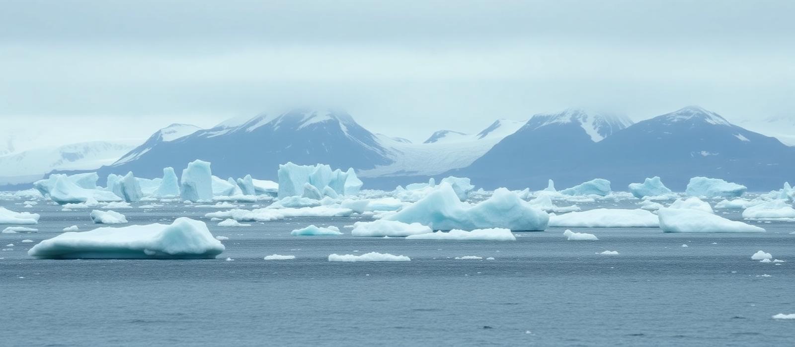
Icebergs and drifting sea ice in cold grey water with glaciated mountains behind under flat overcast light
A polar operating environment: ice and weather, not port infrastructure, set what is possible on a given day.

Four ideas that make the rest readable

Gateway versus expedition area
A gateway is the town or city with an airport and a quay where the voyage begins and ends — Ushuaia, Longyearbyen, Baltra, Broome. An expedition area is the remote stretch the ship actually works once it gets there. The two can be days apart, and the crossing between them is part of the voyage rather than a detour.
Landings versus cruising
Time in an area is split between going ashore — landings, made by small boat, often on a beach or rock rather than a jetty — and remaining aboard while the ship or a small boat moves through a channel, bay or fjord. Both are normal; the balance between them differs by region, by conditions and by the day.
Why itineraries are condition-dependent
Ice, swell, wind, tide, wildlife presence and permit availability decide what is possible on any given morning. Operators publish an intended route and then work the area as conditions allow, which is why an expedition itinerary should be read as an indication of the region covered, not a schedule of places.
Season is narrow
Each region has a short operating window set by ice, monsoon, tide or daylight rather than by demand. Outside it there are simply no voyages, so the season largely decides when a trip can happen at all.
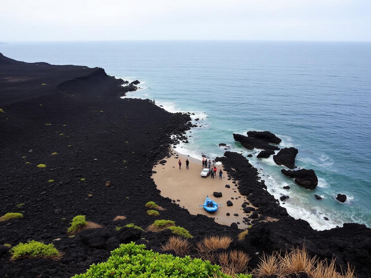
Remote volcanic coastline with a small landing beach between dark lava rock and open ocean
A landing environment: shore access without port infrastructure, which is why small craft and permits shape the day.

Why the same word covers four quite different voyages

Expedition cruising is defined by how a voyage reaches and works a place, not by a climate. What actually varies between regions is which force sets the limits: sea ice and daylight in the polar regions, the tide on a tropical Australian coast, and a national park's routing authority on the equator. That single difference cascades through everything else — the vessel required, the length of the season, how a day ashore is organised and how much of the itinerary can be promised in advance.

It is also why comparing expedition regions by scenery is the least useful comparison available. Two regions can look similarly remote and still produce voyages with almost nothing structural in common.

What sets the limits in each covered region
 AntarcticaArcticGalápagosKimberley
Limiting forceSea ice and the ocean crossingSea ice, and which of three grounds the route usesPark routing authorisationTidal range, and the monsoon
Voyage shapeOut and back across open ocean, or in by airRound trip, coastal run or one-way transitFly in, board, and sail an approved circuitOne-way along a coast between two towns
Vessel constraintIce-capable; landing capacity cappedIce-capable and small enough for protected areasSmall, and licensed to an approved itineraryShallow draft with capable tenders
SeasonAustral summer onlyBoreal summer, narrower the further into the iceYear-round; two climate seasonsDry season only
Who sets the rulesA treaty system, with operator coordinationNational governmentsA national park directorateA state authority, with Traditional Owner agreements
How fixed the itinerary isIndicative; conditions decide the dayIndicative; ice can reroute a voyageApproved in advance and repeatedFixed coast, but the day follows the tide table

The four regions covered here

Listed alphabetically. Each page explains how cruising works in that region and why it works differently there.

  • Antarctica

    The Antarctic Peninsula and the South Atlantic islands, reached from Ushuaia and Punta Arenas in the austral summer.

    Season
    Austral summer, roughly November to March
    Governed by
    Antarctic Treaty system, with IAATO coordinating operators
    Gateways
    3
    Expedition areas
    4
  • Arctic

    Svalbard, Greenland and the Northwest Passage — three Arctic cruising grounds with different jurisdictions and different seasons.

    Season
    Boreal summer; broadly late May to September, shorter in the Northwest Passage
    Governed by
    National governments — Norway, Greenland and Canada — with AECO alongside
    Gateways
    5
    Expedition areas
    4
  • Galápagos

    An Ecuadorian volcanic archipelago on the equator, cruised on fixed itineraries approved by the national park.

    Season
    Year-round, with a warm wet season and a cool dry season
    Governed by
    Galápagos National Park Directorate, Ecuador
    Gateways
    2
    Expedition areas
    4
  • Kimberley

    A remote tropical coast in north-west Australia, cruised one-way between Broome and Darwin in the dry season.

    Season
    Dry season, roughly April to September
    Governed by
    Western Australian conservation authority, with Traditional Owner agreements
    Gateways
    2
    Expedition areas
    4

What this section does and does not cover

Covered

  • Where each region is, and how expedition cruising works there
  • Gateways, main expedition areas and season
  • Vessel character, landings versus cruising, and conditions
  • Regulation at orientation level, and what makes each region different

Deliberately not covered

  • Wildlife calendars and sighting probabilities
  • Landing-site databases and day-by-day itineraries
  • Packing lists
  • Operator rankings or any "best expedition cruise" verdict

Only regions with an established expedition pattern and solid public documentation get a page. Areas that do not meet that bar are left out rather than thinly covered.

Sources & verification

Facts on this page are taken from the sources below. Cruise lines are used only as sources for facts about their own operations, never as sources of independent assessment.