Central islands
Santa Cruz, Santiago, Bartolomé, North Seymour and their neighbours, around the archipelago's two embarkation points. Almost every approved itinerary passes through this cluster at some stage.
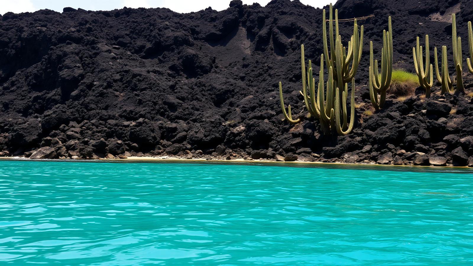
Expedition region
The Galápagos is the most tightly governed cruising ground in the world. Routes are approved by the national park, guides are licensed, visitor sites are fixed, and the itinerary a ship sails is set before anyone books it.
The Galápagos sits about 1,000 km off the coast of Ecuador and is both a national park and a UNESCO World Heritage site. Visitors arrive by air from mainland Ecuador and board a ship at Baltra or San Cristóbal; there is no cruise route to the islands from anywhere else.
What makes cruising here structurally different is that the itinerary is not the operator's to design freely. The park authority approves routes and visitor sites, spreads ships across the archipelago so that sites are not visited continuously, and requires a licensed naturalist guide with every group ashore. A ship therefore repeats an approved route rather than varying it by day.
Gateway
Baltra and San Cristóbal, both reached by air from mainland Ecuador
2 gateways covered on this page.
Approach
An Ecuadorian archipelago on the equator, roughly 1,000 km west of the mainland
Operating areas
4 areas
Central, western, northern, and southern and eastern islands
Time ashore
Landings and cruising by small boat
Where and when depends on ice, weather and permission.
It is also an expedition region without ice or a closed season. The archipelago can be visited year-round, and the variation is between a warm wet season and a cool dry one rather than between open and closed.
A plan, not a schedule
Conditions decide what happens each day, so the published route describes intent rather than a fixed sequence of stops.
In most cruising regions an operator chooses where the ship goes and publishes it. In the Galápagos the national park authority approves the route and the visitor sites, and spreads vessels across the archipelago so that no site is used continuously. The itinerary is therefore an attribute of the vessel's authorisation rather than a marketing decision, and it repeats.
This inverts how a reader should compare voyages here. There is little point looking for the operator with the most ambitious route; the useful question is which approved route a given departure sails, because that decides which islands are on it. Two departures of the same ship in the same month can cover different parts of the archipelago for exactly this reason.
Arrive
By air from mainland Ecuador
There is no passenger sailing to the archipelago; the flight is part of the trip.
Board
Baltra or San Cristóbal
The two airports are the practical start and end points.
Sail overnight
Between islands while the ship is not visiting
Night passages keep the daylight hours at visitor sites.
Go ashore
At a designated visitor site, with a licensed guide
Groups stay on the marked trail within the site.
Return
To the same two airports
Which is why route length is limited by the flight days at each end.
The Galápagos looks compact on a map, but the outlying islands are separated from the central group by crossings long enough to consume a night and part of a day. Because the day is reserved for visitor sites, those crossings have to be paid for out of the itinerary's length.
That is the mechanism behind a pattern readers notice without always understanding: the western and northern islands appear mainly on longer itineraries, while shorter departures concentrate on the central group. It is a consequence of sailing time and approved routing, not of one part of the archipelago being reserved for premium trips.
Access is regulated, not seasonal
There is no closed season here. What varies through the year is water temperature and sea state, while what limits a voyage is the park authorisation the vessel holds.
Gateways and the broad areas voyages work in. The areas are approximate zones rather than routes or boundaries, and each one is described underneath the map.
Areas are drawn as soft zones because expedition geography has no fixed edges. They are not boundaries, not routes and not landing sites.
Expedition regions have very few places a voyage can begin. These are them.
| Gateway | Country or territory | Role | Why it matters |
|---|---|---|---|
| Baltra | Ecuador | Main start or end point | Island airport just north of Santa Cruz, and the most used embarkation point. Arrival is by air from mainland Ecuador, not by ship. |
| Puerto Baquerizo Moreno (San Cristóbal) | Ecuador | Main start or end point | The archipelago's administrative centre and the second embarkation island, serving itineraries that work the eastern and southern islands first. |
The areas a voyage is built around. Which specific places a ship visits inside an area is decided by the operator, the regulator and the conditions on the day.
Santa Cruz, Santiago, Bartolomé, North Seymour and their neighbours, around the archipelago's two embarkation points. Almost every approved itinerary passes through this cluster at some stage.
Isabela and Fernandina, the youngest and most volcanically active islands, on the cold upwelling side of the archipelago. Reaching them takes longer, so they appear on the longer itineraries.
Genovesa and the outlying north, seabird-dominated and separated from the rest of the archipelago by a long overnight crossing.
Española, Floreana, San Cristóbal and Santa Fé, the oldest islands in the chain, worked by itineraries that start or end at San Cristóbal.
From roughly December to May the archipelago is warmer and wetter, with calmer seas. From roughly June to November the cool Humboldt influence strengthens, the sea is cooler and the air drier, and crossings can be choppier.
Neither season closes the archipelago and neither is presented here as better. The practical difference is sea conditions and water temperature, not access.
| Month | Cruise activity |
|---|---|
| Jan | Year-round operation |
| Feb | Year-round operation |
| Mar | Year-round operation |
| Apr | Year-round operation |
| May | Year-round operation |
| Jun | Year-round operation |
| Jul | Year-round operation |
| Aug | Year-round operation |
| Sep | Year-round operation |
| Oct | Year-round operation |
| Nov | Year-round operation |
| Dec | Year-round operation |
Cruising operates in every month. The calendar shows access, not weather quality.
Small vessels only. Capacity here is a regulatory matter, and the fleet is licensed to operate in the park.
Vessels carrying visitors in the park operate under park authorisation tied to an approved itinerary.
Group sizes ashore are controlled, and vessels in the archipelago are small compared with any ocean cruise ship.
Nothing here is about ice class. What matters is the vessel's licence, its itinerary and the guide ratio, not its hull.
Structured landings at designated visitor sites, plus water activity from the ship's tenders.
Groups land by tender either onto a small jetty or rocks, or directly onto a beach, and follow a marked trail at the site.
Visitors stay within the designated site with their guide. Free wandering is not part of the model.
Time in the water and along the shore in tenders is a normal part of the day, alongside the land visits.
The islands sit on the equator but are washed by cool currents, so sea temperatures are lower than the latitude suggests.
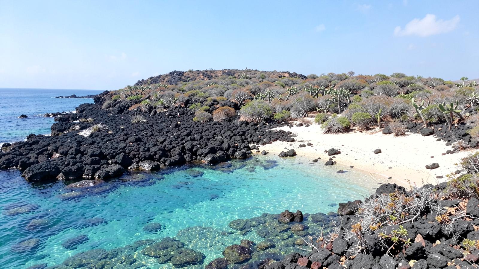
The western islands are among the most volcanically active places on earth, and the landscape ashore is lava, ash and young rock rather than tropical forest.
The northern and western islands are separated by long open-water crossings, usually made overnight.
Animals here are unusually unafraid of people, which is exactly why minimum distances and trail rules are enforced.
Who governs the area and what that means in practice. The regulator's own material is the authority on the detail.
The Galápagos National Park Directorate administers the protected area, the visitor sites and the authorisations that let a vessel operate.
Routes and site visits are allocated by the park so that visits are distributed across the archipelago rather than concentrated.
Only park-licensed naturalist guides may take visitors to sites, and groups must remain with their guide.
Visitors pay a park entrance fee and complete transit control formalities on arrival. Ecuadorian biosecurity rules restrict what may be brought to the islands.
Nowhere else in this site does a government body determine which places a ship visits and in what order. Choosing a Galápagos cruise is largely choosing an approved route.
There is no ice window and no closure. That removes the single biggest source of uncertainty in polar expedition cruising.
The voyage begins after a flight. The archipelago is not connected to any wider cruise itinerary.
The Antarctic Peninsula and the South Atlantic islands, reached from Ushuaia and Punta Arenas in the austral summer.
Svalbard, Greenland and the Northwest Passage — three Arctic cruising grounds with different jurisdictions and different seasons.
A remote tropical coast in north-west Australia, cruised one-way between Broome and Darwin in the dry season, shaped by big tides and Aboriginal land access.
No ports, small ships, landings by small boat, and a regulator that decides what is possible.
Facts on this page are taken from the sources below. Cruise lines are used only as sources for facts about their own operations, never as sources of independent assessment.