Skip to content
SnapVoyagesIndependent cruise information
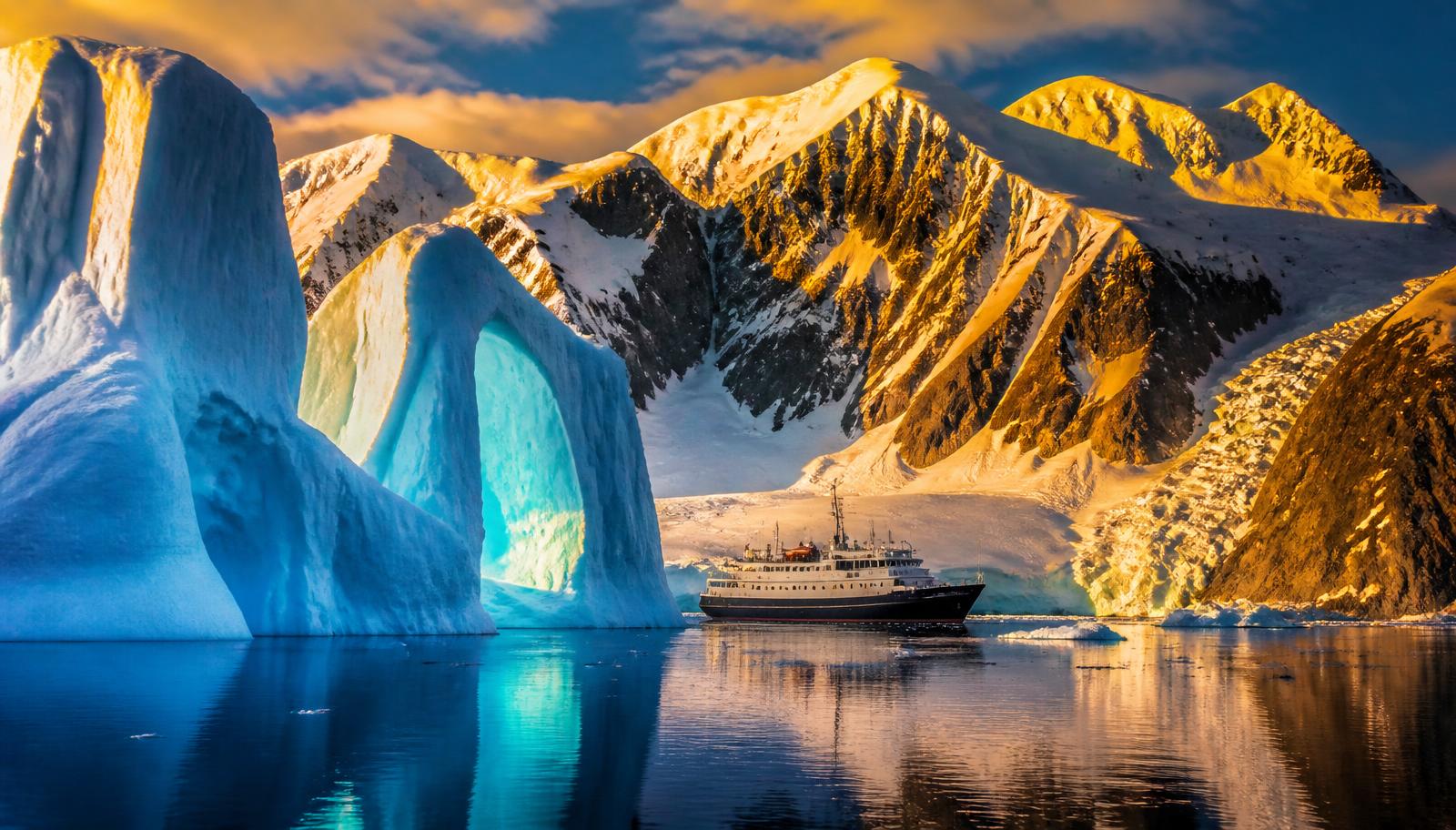
Illustrative AI-generated scene of tabular icebergs and a snow-covered coastline under a pale polar sky

Expedition region

Antarctica expedition cruises

Antarctica is the only continent with no permanent population and no ports. Voyages reach it from the southern tip of South America, work the Antarctic Peninsula for a handful of days, and return. There is nothing to arrive at except the place itself.

The short answer

An Antarctic voyage is structured around a crossing rather than a coastline. From Ushuaia the ship spends roughly two days crossing the Drake Passage in each direction, and the days in between are spent in the sheltered channels of the Peninsula. Longer voyages add the Falkland Islands and South Georgia, which are sub-Antarctic islands with their own governments and their own permits, rather than part of Antarctica itself.

Because there are no ports, everything ashore happens by small boat. Landings are short, they are made at sites the Antarctic Treaty parties have written guidelines for, and they are scheduled between ships so that only one ship uses a site at a time. This is the practical reason Antarctic itineraries are described as plans rather than schedules.

At a glance

Where it is
The Antarctic Peninsula and surrounding islands, south of the Drake Passage
Season
Austral summer, roughly November to March
Gateways
Ushuaia and Punta Arenas; Stanley on longer South Atlantic routes
Main expedition areas
Antarctic Peninsula, western Weddell Sea, South Georgia, Falkland Islands
Vessel character
Ice-strengthened expedition ships; only smaller ships put passengers ashore
Who governs it
Antarctic Treaty system, with IAATO coordinating operators

How a voyage here is assembled

  1. Gateway

    Ushuaia and Punta Arenas; Stanley on longer South Atlantic routes

    3 gateways covered on this page.

  2. Approach

    The Antarctic Peninsula and surrounding islands, south of the Drake Passage

  3. Operating areas

    4 areas

    Antarctic Peninsula, western Weddell Sea, South Georgia, Falkland Islands

  4. Time ashore

    Landings and cruising by small boat

    Where and when depends on ice, weather and permission.

Antarctica is governed by the Antarctic Treaty system rather than by any single country. Almost all tour operators are members of IAATO, the industry association that coordinates ship movements and applies operating standards on top of the Treaty framework. This combination — treaty law plus a coordinating association — has no equivalent in any other cruising region in the world.

How expedition cruising works in Antarctica

The crossing is part of the voyage
From Ushuaia the Drake Passage takes about two days each way. Some voyages replace one or both crossings with a flight to an airstrip in the South Shetland Islands, which shortens the trip and changes what the days at sea are for.
Days are planned, not timetabled
Where a ship goes on a given day depends on ice, wind and the site schedule agreed between operators. Published itineraries are indicative, and operators state this themselves.
Everything ashore is by small boat
There are no piers. Passengers go ashore by inflatable boat in groups, spend a limited time at the site, and return to the ship.
Sub-Antarctic islands are separate jurisdictions
South Georgia and the Falkland Islands lie north of the Treaty area and are administered separately, each with its own visitor and biosecurity requirements.
What the itinerary is

A plan, not a schedule

Conditions decide what happens each day, so the published route describes intent rather than a fixed sequence of stops.

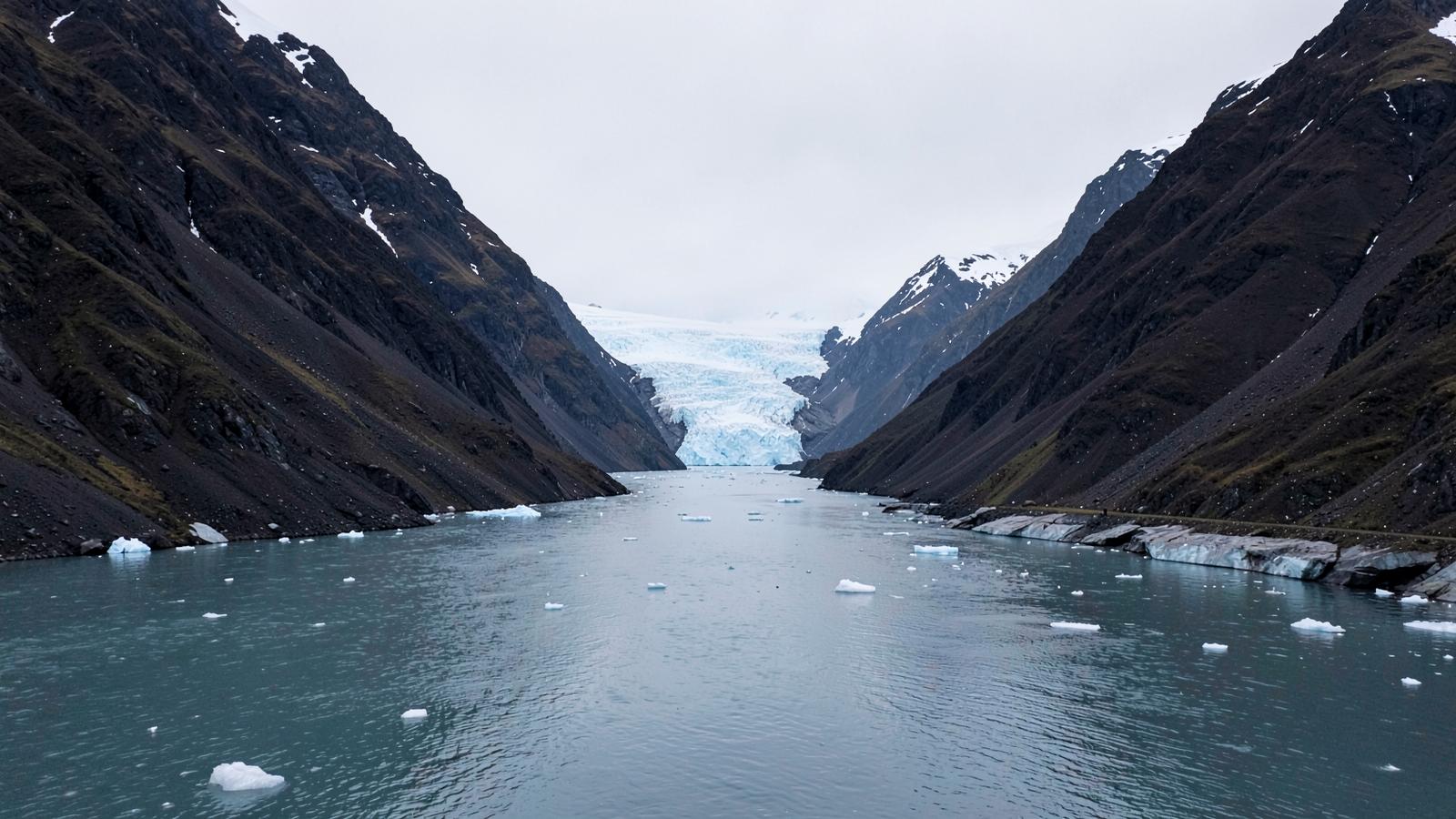
A narrow polar channel filled with brash ice between steep dark mountains and a glacier front
The working area is sheltered water between ice and rock. There is nothing ashore to tie up to, so the ship and its small boats carry the whole day.

Why the crossing decides the shape of the whole voyage

Antarctica is reached across open ocean rather than along a coast. From Ushuaia the Drake Passage takes roughly two days in each direction, and those days are not spare time that can be traded away: they are the cost of getting to the working area at all. On a short voyage that leaves only a handful of days on the Peninsula itself, which is why the difference between a shorter and a longer Antarctic trip is mostly a difference in days actually spent in the ice.

Voyages that fly across the passage to an airstrip in the South Shetland Islands change that arithmetic. The sea days disappear, more of the trip is spent in the working area, and the constraint moves from sea state to whether the flight can operate in the weather on the day. Both patterns exist; they trade one kind of uncertainty for another.

How a landing day is assembled
  1. Position overnight

  2. Site availability

  3. Conditions check

  4. Small boats ashore

  5. Time ashore is limited

  6. Alternative or cruise instead

  1. The ship moves between channels while conditions are read.
  2. Site use is coordinated between operators so that a site is not used by two ships at once.
  3. Wind, swell, ice and the state of the shore decide whether a boat operation is possible.
  4. Passengers land by inflatable in groups; there are no piers anywhere in the Treaty area.
  5. Group size ashore at any one site is capped, which is why landing ships are small.
  6. If the site does not work, the day becomes another site or time in small boats without landing.

This sequence is the reason published Antarctic itineraries describe an area rather than a schedule of places.

Peninsula voyages and South Atlantic voyages are different trips
 Peninsula onlyWith South Georgia and the Falklands
ShapeOut and back across the Drake PassageA longer loop through the South Atlantic
JurisdictionAntarctic Treaty areaAlso two separately administered island groups, each with its own requirements
LandscapeIce, glaciated channels, no residentsSub-Antarctic grassland and beaches as well as ice; settlements in the Falklands
Sea timeTwo crossingsSubstantially more time at sea between island groups
Why there is no port

A continent with no permanent population

Nothing ashore exists to receive a ship, so every element of the day — access, group size, timing — is carried by the vessel and its small boats.

The expedition geography

Gateways and the broad areas voyages work in. The areas are approximate zones rather than routes or boundaries, and each one is described underneath the map.

Antarctic PeninsulaWeddell Sea (western side)South GeorgiaFalkland IslandsUshuaiaPunta ArenasStanley

Everything on this map, as text

Gateways

  • Ushuaia (Argentina) — The southernmost Argentine city and the most used starting point for Antarctic Peninsula voyages, because it is the closest gateway to the Drake Passage crossing.
  • Punta Arenas (Chile) — Chilean gateway on the Strait of Magellan, used both for ships and for fly-and-sail voyages that cross the Drake Passage by air.
  • Stanley (Falkland Islands) — Capital of the Falkland Islands. Usually a call on longer South Atlantic voyages rather than a turnaround point.

Expedition areas

  • Antarctic Peninsula The arm of the Antarctic continent reaching north towards South America, with its sheltered channels and offshore islands. This is the core of Antarctic cruising: it is the part of the continent closest to a gateway, it has the most sheltered water, and it holds most of the sites for which the Antarctic Treaty parties have adopted visitor guidelines.
  • Weddell Sea (western side) The sea east of the Peninsula, dominated by heavy multi-year ice pushed round by a persistent clockwise gyre. Voyages that enter it do so on the western margin and only in the conditions of the day.
  • South Georgia A mountainous sub-Antarctic island roughly 1,400 km east of the Falklands, outside the Antarctic Treaty area and administered as a UK Overseas Territory with its own government, permits and biosecurity requirements.
  • Falkland Islands A South Atlantic archipelago with a resident population, a capital at Stanley and a road network on the two main islands. On expedition voyages it usually appears as the first stage of a longer South Atlantic route.

Areas are drawn as soft zones because expedition geography has no fixed edges. They are not boundaries, not routes and not landing sites.

Gateways

Expedition regions have very few places a voyage can begin. These are them.

Gateways used by Antarctica expedition voyages
GatewayCountry or territoryRoleWhy it matters
UshuaiaArgentinaMain start or end pointThe southernmost Argentine city and the most used starting point for Antarctic Peninsula voyages, because it is the closest gateway to the Drake Passage crossing.
Punta ArenasChileMain start or end pointChilean gateway on the Strait of Magellan, used both for ships and for fly-and-sail voyages that cross the Drake Passage by air.
StanleyFalkland IslandsOccasional or secondaryCapital of the Falkland Islands. Usually a call on longer South Atlantic voyages rather than a turnaround point.

Main expedition areas

The areas a voyage is built around. Which specific places a ship visits inside an area is decided by the operator, the regulator and the conditions on the day.

Antarctic Peninsula

The arm of the Antarctic continent reaching north towards South America, with its sheltered channels and offshore islands. This is the core of Antarctic cruising: it is the part of the continent closest to a gateway, it has the most sheltered water, and it holds most of the sites for which the Antarctic Treaty parties have adopted visitor guidelines.

Access: Reached from Ushuaia or Punta Arenas across the Drake Passage, either by ship or by air to an airstrip and ship from there.

Weddell Sea (western side)

The sea east of the Peninsula, dominated by heavy multi-year ice pushed round by a persistent clockwise gyre. Voyages that enter it do so on the western margin and only in the conditions of the day.

Access: Ice-limited. Whether a ship gets in at all is decided by the ice, not by the schedule.

South Georgia

A mountainous sub-Antarctic island roughly 1,400 km east of the Falklands, outside the Antarctic Treaty area and administered as a UK Overseas Territory with its own government, permits and biosecurity requirements.

Access: Only reached on longer voyages that combine it with the Falklands and the Peninsula. Visitors and vessels operate under permits issued by the territory's government.

Falkland Islands

A South Atlantic archipelago with a resident population, a capital at Stanley and a road network on the two main islands. On expedition voyages it usually appears as the first stage of a longer South Atlantic route.

When voyages operate

The season is set by sea ice and daylight. Ships reach the Peninsula once the fast ice has broken up in late spring, and leave again as it re-forms in the autumn. Outside that window the region is not accessible to passenger vessels at all.

Within the season the character changes: early voyages meet more ice and snow cover, mid-season has the longest daylight, and late-season voyages find more open water and receding snow. None of these is better than another, and this site does not rank them.

Cruise activity through the year — Antarctica
Shoulder periodPeak cruise activityEssentially no cruises
Read this as a table
Relative cruise activity by month in the Antarctica cruise region
MonthCruise activity
JanShoulder period
FebPeak cruise activity
MarShoulder period
AprEssentially no cruises
MayEssentially no cruises
JunEssentially no cruises
JulEssentially no cruises
AugEssentially no cruises
SepEssentially no cruises
OctEssentially no cruises
NovShoulder period
DecPeak cruise activity

Deployment activity by month, from the published operating season. It is not a judgement about when to travel.

Ship and vessel character

Expedition ships here are defined by ice capability and by passenger number, because passenger number decides what a ship is permitted to do.

Ice-capable hulls

Ships operating in polar waters are built and certified for those conditions under the IMO Polar Code, which covers hull, equipment, crew training and voyage planning.

Landing ships are small

Under the operating framework applied in Antarctica, no more than 100 passengers may be ashore at any one site at any one time, and larger ships do not land passengers at all.

Cruise-only ships exist too

Some larger vessels sail Antarctic waters without landing anyone. On those voyages the continent is seen from the ship.

Landings and cruising from the ship

A day is usually built from one or two landings plus small-boat cruising among ice, weather permitting.

Landings

Short visits ashore at sites with agreed visitor guidelines, on foot within marked or briefed limits, with minimum approach distances to wildlife.

Small-boat cruising

Time spent in inflatable boats among icebergs and along glacier fronts without going ashore. It is a normal alternative when a landing is not possible.

Biosecurity

Clothing and boots are cleaned before and after going ashore to avoid moving seeds, soil or disease between sites.

Environmental conditions

The Drake Passage

The stretch of open ocean between Cape Horn and the Peninsula, with no land at that latitude to slow the swell. Conditions vary widely between crossings.

Sea ice governs access

Ice decides which channels are open on the day. The western Weddell Sea in particular may be unreachable in a given season.

Katabatic wind

Cold air draining off the ice sheet can raise wind speeds very quickly in otherwise calm conditions, which is a common reason a planned landing is cancelled.

Continuous daylight

In midsummer the Peninsula has effectively no darkness, which is why operations can be scheduled at unusual hours.

Regulation, at orientation level

Who governs the area and what that means in practice. The regulator's own material is the authority on the detail.

The Antarctic Treaty system

Antarctica has no sovereign owner. Activity is governed by the Treaty and its Environmental Protocol, agreed between the Treaty parties, and visitors are covered by general and site-specific guidelines adopted at Treaty meetings.

Operator coordination through IAATO

Most operators belong to IAATO, which coordinates which ship is at which site and when, and applies its own operating procedures on top of the Treaty framework.

National authorisation

Operators and voyages are authorised by a national authority in the country the activity is organised from, so the paperwork behind a voyage is national even though the destination is not.

South Georgia is separate

South Georgia and the South Sandwich Islands are administered by their own government, which sets its own visitor, permit and biosecurity requirements.

What makes this expedition region different

No ports, no population, no infrastructure

Every other cruising region in this site is organised around places where people live and ships tie up. Antarctica has neither, so the ship is the only infrastructure the voyage has.

A numeric limit shapes the ship you sail on

The 100-passengers-ashore limit is the reason Antarctic landing ships are small. Ship size here is a consequence of regulation, not of market preference.

The itinerary is a proposal

Ice and weather rewrite the plan routinely. Understanding this before booking matters more here than anywhere else covered on this site.

Key things to understand

Key facts

  • Antarctica has no ports; all landings are by small boat.
  • The season runs roughly November to March and does not exist outside it.
  • Ushuaia and Punta Arenas are the main gateways; the Drake Passage crossing takes about two days each way by ship.
  • No more than 100 passengers may be ashore at one site at one time, so landing ships are small.
  • Larger ships may sail Antarctic waters without landing anyone at all.
  • The Antarctic Treaty system governs the continent; South Georgia and the Falklands are separate jurisdictions with their own rules.
  • Published itineraries are indicative and are changed by ice and weather.

What to check when comparing voyages

  • Whether the voyage lands passengers, or is a cruise-only voyage with no landings.
  • How many passengers the ship carries, since that affects how much time ashore is available per person.
  • Whether the Drake Passage is crossed by ship or by air, and in one or both directions.
  • Whether South Georgia or the Falklands are included, which changes the length of the voyage substantially.
  • What the operator states about itinerary changes caused by ice and weather.
  • Which national authority has authorised the voyage, and whether the operator is an IAATO member.

Sources & verification

Facts on this page are taken from the sources below. Cruise lines are used only as sources for facts about their own operations, never as sources of independent assessment.