Skip to content
SnapVoyagesIndependent cruise information
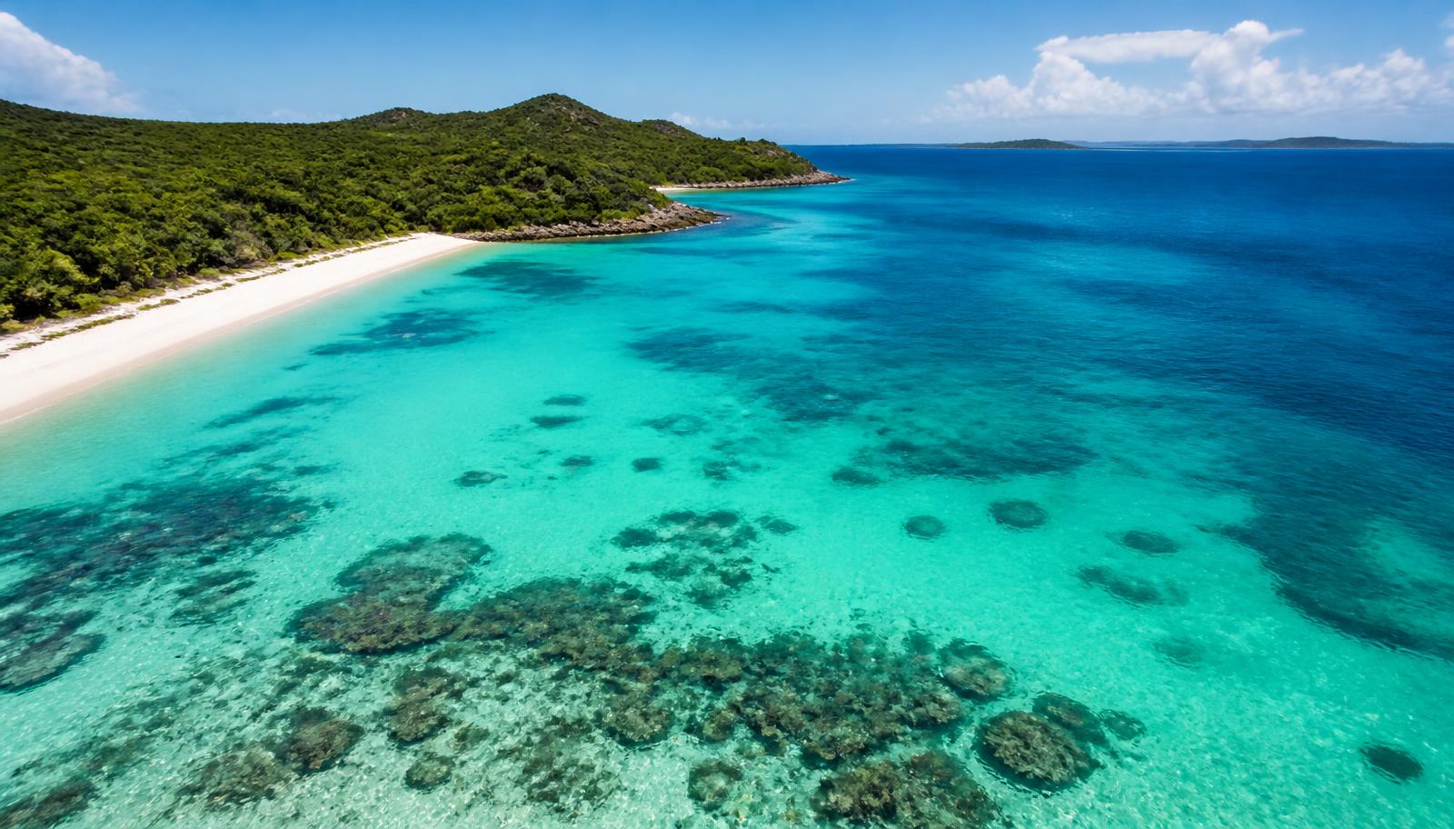
Illustrative image of clear turquoise Caribbean water and a low green coastline under bright natural light

Ocean cruise region

Caribbean Cruises

The Caribbean is organised less by country than by direction of travel from the departure port: eastern, western and southern itineraries reach different island groups and involve different amounts of sea time.

Organised by
Direction: eastern · western · southern
Most cruises start in
Florida, outside the Caribbean Sea
Season
Year-round; hurricane season 1 Jun – 30 Nov

The short answer

Most Caribbean cruises leave from Florida — Miami, Fort Lauderdale and Port Canaveral — which are not in the Caribbean Sea themselves. The distance from Florida to the islands is what shapes the itinerary: the further south or east a route goes, the more sea days it needs.

Eastern itineraries head towards Puerto Rico, the Virgin Islands and the northern Leewards. Western itineraries head towards Mexico, the Cayman Islands, Jamaica and Central America. Southern itineraries reach the islands off the South American coast, such as Barbados, Curaçao and Aruba, and usually need a longer cruise or a departure port further south.

At a glance

The Caribbean as a cruise region

The structural facts first, in the order that makes an itinerary readable.

Where it is
The Caribbean Sea and the surrounding island chains, plus the Bahamas and the Florida ports that serve them.
Type of cruise region
Year-round, high-volume ocean cruising dominated by large mainstream ships.
What defines cruising here
Direction of travel from the departure port. Eastern, western and southern routes reach different islands and carry different amounts of sea time.
Season
Year-round. The Atlantic hurricane season runs 1 June to 30 November.
Main departure ports
Miami, Fort Lauderdale (Port Everglades), Port Canaveral, San Juan, Bridgetown.
Main areas
Florida gateways, Bahamas, Eastern, Western and Southern Caribbean.

San Juan and Bridgetown are also used as turnaround ports. Starting inside the Caribbean removes the transit from Florida, which is why some island-dense itineraries are only sold from those ports.

Map

The Caribbean, drawn

Switch between cruise areas, ports, departure gateways and cruise-line presence. Areas are geographic zones, not itineraries. Everything on the map is also listed in text on this page.

The main geographic divisions of the region.

CUBAMEXICOCaribbean SeaGulf of MexicoAtlantic OceanLesser AntillesHAITIHONDURASCOLOMBIAFlorida gatewaysBahamasEastern CaribbeanWestern CaribbeanSouthern Caribbean
Departure gatewayPort of call
Orientation map. Cruise areas are approximate planning regions, not published itineraries or routes.

The organising idea

Eastern, western and southern are directions, not countries

The same Florida gateway serves all three. The direction sailed decides which island group the ship reaches, and how much of the week is spent crossing to it.

Eastern Caribbean

Puerto Rico, the Virgin Islands and the northern Leeward Islands. San Juan also works as a turnaround port, which reduces the sailing distance to these islands.

Representative ports: San Juan, St Thomas, Philipsburg

Reached from Florida with one or more sea days each way, or almost immediately from a San Juan turnaround.

Western Caribbean

The waters towards Mexico, Belize, Honduras, the Cayman Islands and Jamaica. Reached quickly from Florida, so it appears frequently on shorter sailings.

Representative ports: Cozumel, George Town, Falmouth

Closest island group to Florida, so it appears most often on shorter and lower-sea-day itineraries.

Southern Caribbean

The islands closer to the South American coast, including Barbados, Curaçao and Aruba. Distances from Florida are longer, so these islands often appear on longer itineraries or sailings starting further south.

Representative ports: Bridgetown, Willemstad, Oranjestad

Furthest from Florida; usually needs a longer cruise or a home port inside the Caribbean.

Sea days are a function of geography

Florida is not in the Caribbean. Every mile a route runs south or east has to be paid for in sea time, which is why southern itineraries from Florida need longer than a week.

Direction, not country, is the organising idea

Cruises are marketed as eastern, western or southern rather than by the countries visited, because the same departure port serves all three and the direction decides the island group.

Private destinations are part of the product

Several operators own or lease private islands and beach destinations in the Bahamas and Haiti, and these appear as scheduled calls alongside public ports.

Home ports inside the region change the maths

Turnaround ports at San Juan and Bridgetown start a cruise already inside the island chain, allowing more port calls in the same number of nights.

Why so many Caribbean cruises start in Florida, which is not in the Caribbean

A turnaround port has to do two jobs at once: sit within reach of the cruising area, and be easy to arrive at. Florida does both. It is close enough to the northern Caribbean and the Bahamas for a ship to be at its first island after a night or two of sailing, and it is one of the most heavily served air markets in the world, with a large population able to reach the terminal by road.

Islands in the middle of the chain are closer to the cruising area but much harder to arrive at. Their airports are smaller, connections are fewer and often route through a hub anyway, and there is no drive-up market at all. A ship based there sees more islands per week, but fills its cabins from a narrower pool of travellers.

That trade-off is the reason the region has two different starting positions rather than one. A Florida departure buys easy access and pays for it in sea time; a southern home port such as San Juan or Bridgetown buys island time and pays for it in the flight. Neither is better — they answer different constraints, and which one suits you depends on how you are getting there.

What direction out of a Florida gateway changes. Structural comparison of geography and routing, not schedules or prices.
 Distance from FloridaEffect on the weekCharacter of the calls
Eastern CaribbeanNearest of the three from a Florida gateway.Sea time is modest, so port days come early in the week.Smaller islands and the northern chain, often reached in short overnight runs.
Western CaribbeanComparable running distance, but westward across open water.Longer single legs between calls, so sea days sit between clusters of ports.Larger land masses and mainland coasts rather than a chain of small islands.
Southern CaribbeanFurthest from Florida; commonly run from a southern home port instead.From Florida the crossing consumes days; from a southern base the same days become calls.The Lesser Antilles and the continental south, with shorter hops once the ship is in the area.

Where cruises start

Two different starting positions

A cruise that begins in Florida has to cross to the islands first. A cruise that begins inside the island chain does not. This is the difference that shows up as sea days.

Starting outside the Caribbean Sea

Florida gateways

Miami, Fort Lauderdale and Port Canaveral. The distance from Florida to the islands is what shapes the itinerary: the further south or east a route goes, the more sea days it needs.

Starting inside the island chain

San Juan and Bridgetown

Starting inside the Caribbean removes the transit from Florida, which is why some island-dense itineraries are only sold from those ports.

Miami

United States · Florida gateways

PortMiami is one of the largest cruise embarkation ports in the world.

Fort Lauderdale

United States · Florida gateways

Port Everglades is a major Florida turnaround port for Caribbean sailings.

Port Canaveral

United States · Florida gateways

Gateway for Orlando.

A Florida cruise port on the Atlantic coast east of Orlando.

San Juan

Puerto Rico (United States) · Eastern Caribbean

The main turnaround port inside the Caribbean itself, which shortens sea time to the eastern islands.

Bridgetown

Barbados · Southern Caribbean

Used both as a port of call and as a turnaround port for southern Caribbean itineraries.

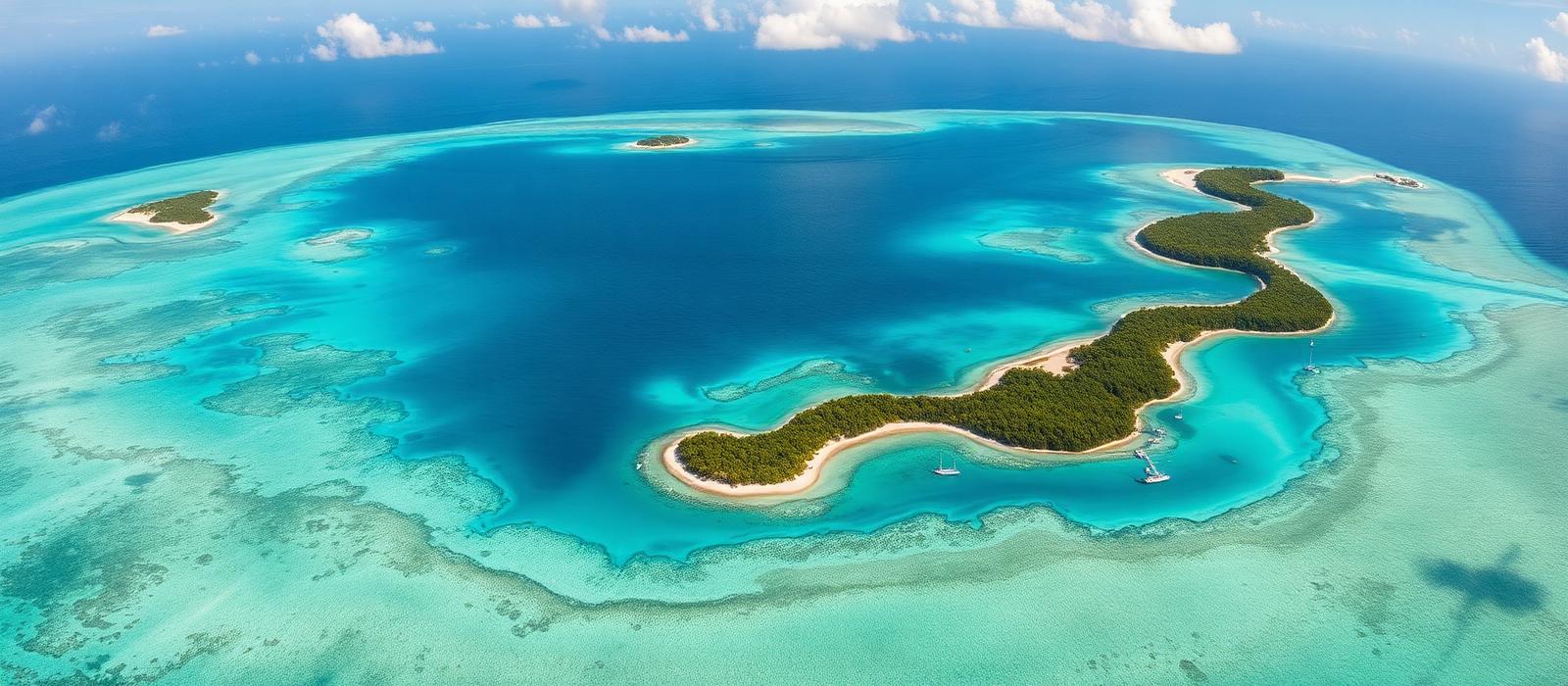
Aerial view of a low green Caribbean island chain surrounded by shallow reef water shading into deep ocean
The island chain: low islands separated by short stretches of open water, with reef shelves close to shore.

Cruise areas

The areas an itinerary is built from

Two of these sit close to Florida and appear on short sailings; the three island groups above are the destination areas. None is presented as better than another.

Florida gateways

The Florida ports most Caribbean cruises depart from. They are not in the Caribbean Sea itself, but they define where a large share of Caribbean itineraries begin and end.

Representative ports: Miami, Fort Lauderdale, Port Canaveral

Not a destination area: it sets where cruises start and how much sea time is needed to reach the islands.

Bahamas

The island chain north of Cuba, close enough to Florida to appear on short sailings as well as on longer Caribbean itineraries.

Representative ports: Nassau

Close enough to Florida for three- to five-night sailings, and the area where cruise-line private destinations are concentrated.

Caribbean cruise areas and representative ports
AreaRepresentative portsPosition relative to Florida
Florida gatewaysMiami, Fort Lauderdale, Port CanaveralNot a destination area: it sets where cruises start and how much sea time is needed to reach the islands.
BahamasNassauClose enough to Florida for three- to five-night sailings, and the area where cruise-line private destinations are concentrated.
Eastern CaribbeanSan Juan, St Thomas, PhilipsburgReached from Florida with one or more sea days each way, or almost immediately from a San Juan turnaround.
Western CaribbeanCozumel, George Town, FalmouthClosest island group to Florida, so it appears most often on shorter and lower-sea-day itineraries.
Southern CaribbeanBridgetown, Willemstad, OranjestadFurthest from Florida; usually needs a longer cruise or a home port inside the Caribbean.

Ports of call

The islands the routes run through

Grouped by area. Enough to understand the geography, not a complete directory and not destination guides.

Bahamas

Nassau

The Bahamas

Port of call

The capital of The Bahamas and the most frequently called Bahamian port.

Eastern Caribbean

San Juan

Puerto Rico (United States)

Departure and call

The main turnaround port inside the Caribbean itself, which shortens sea time to the eastern islands.

Charlotte Amalie, St. Thomas

U.S. Virgin Islands

Port of call

The main port of St Thomas in the U.S. Virgin Islands.

Philipsburg, St. Maarten

Sint Maarten

Port of call

The main port on the Dutch side of Sint Maarten.

Western Caribbean

George Town

Cayman Islands

Port of call

Ships anchor offshore and passengers come ashore by tender.

Cozumel

Mexico

Port of call

An island port off Mexico's Yucatán peninsula and one of the busiest western Caribbean calls.

Falmouth

Jamaica

Port of call

A purpose-built cruise port on Jamaica's north coast.

Ocho Rios

Jamaica

Port of call

A call on Jamaica's north coast, east of Falmouth.

Southern Caribbean

Bridgetown

Barbados

Departure and call

Used both as a port of call and as a turnaround port for southern Caribbean itineraries.

Willemstad

Curaçao

Port of call

The capital of Curaçao, where ships berth beside the historic harbour entrance.

Oranjestad

Aruba

Port of call

The capital and main port of Aruba, off the Venezuelan coast.

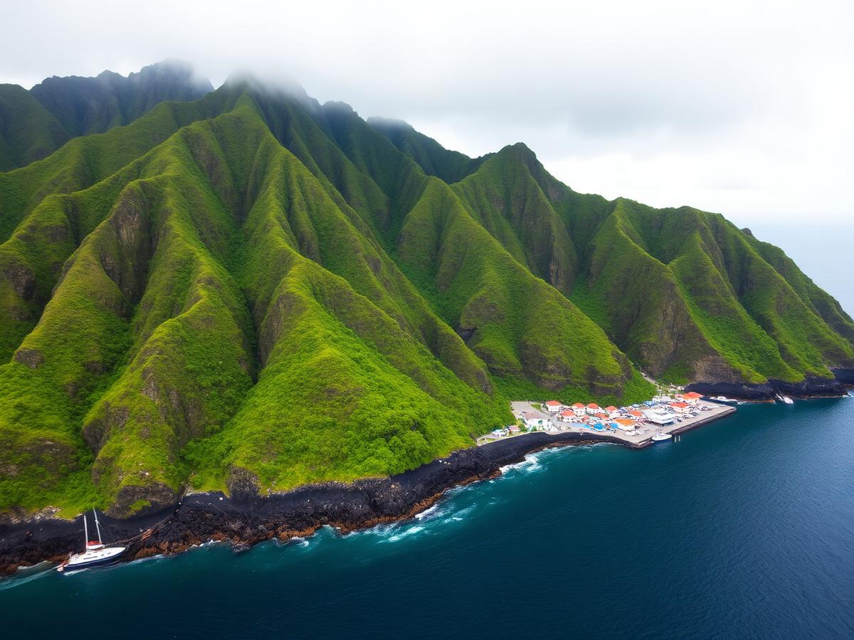
Steep volcanic Caribbean coastline with rainforest-covered peaks rising directly behind a small harbour town
High volcanic islands: steep land, deep water close inshore and settlements confined to narrow coastal shelves.

Season and hurricanes

A year-round region with a defined storm season

Cruises operate year-round; the Atlantic hurricane season runs 1 June to 30 November.

Caribbean cruises are sold throughout the year, and Florida gateways operate in every month.

NOAA's National Hurricane Center defines the Atlantic hurricane season as 1 June to 30 November, with activity concentrated in the later part of that window. Ships are routed away from storms, so a sailing inside that window may have its itinerary changed.

Check the operator's published policy on itinerary changes if you sail within the hurricane season.

Cruise activity through the year — Caribbean
Peak cruise activityShoulder periodLow season
Read this as a table
Relative cruise activity by month in the Caribbean cruise region
MonthCruise activity
JanPeak cruise activity
FebPeak cruise activity
MarPeak cruise activity
AprShoulder period
MayShoulder period
JunShoulder period
JulPeak cruise activity
AugShoulder period
SepLow season
OctLow season
NovShoulder period
DecPeak cruise activity

Cruises operate in all twelve months. This shows relative passenger demand rather than availability: northern-hemisphere winter and the summer school holidays are busiest, while September and October coincide with the most active part of the hurricane season.

Conditions

Consistently warm all year, with a wetter second half and a defined Atlantic hurricane season from 1 June to 30 November.

Temperature
Air and sea temperatures vary little across the year compared with the other two regions. Humidity, rather than temperature, is what changes most noticeably between winter and late summer.
Rainfall
Rain is more frequent in the second half of the year and often falls as short heavy showers rather than all-day rain, so it interrupts a port day rather than ending it.
Tropical systems
NOAA's National Hurricane Center defines the season as 1 June to 30 November, with peak activity around September. Ships are routed away from storms, which can mean a substituted port or a reversed route.

What hurricane season actually changes for a cruise

The Atlantic hurricane season runs from 1 June to 30 November, and cruise ships keep sailing through it. The relevant point for a passenger is not that storms exist but that a ship is mobile in a way a hotel is not: it can leave, and the itinerary is the part that absorbs the change.

When a system develops, the practical outcome is usually a reordered or substituted itinerary rather than a cancelled cruise. A route planned for the eastern Caribbean may run west instead, calls may be swapped for others at a similar distance, and a departure may be brought forward or held back so the ship can clear the forecast track. The ports themselves may be unaffected; the change is about where the ship can safely be on a given day.

Two consequences follow. First, an itinerary booked inside the season should be read as a likely shape rather than a fixed list of islands, so the cruise is a poor way to guarantee one specific place. Second, the risk is uneven across the season and across the region, and official forecasting bodies rather than travel sites are the source to check for any particular date.

Itinerary patterns

How cruises move through the region

Representative shapes of route, not products. Nothing here is a bookable route or a current schedule.

Short round-trip from Florida

Three to five nights, usually towards the Bahamas or the nearest western Caribbean ports, with little sea time.

Seven-night round-trip, eastern or western

A week from a Florida gateway, combining port calls with the sea time the crossing requires; the balance depends on the direction sailed.

Southern itineraries from a Caribbean home port

Departures from San Juan or Bridgetown reach the southern and eastern islands without crossing from Florida first, allowing more ports in the same number of nights.

Types of cruise operating here

What ship size changes in general is explained once on ships explained.

Large and very large mainstream ships

The dominant type. The newest and largest ships in the industry are deployed here, and on many itineraries the ship is presented as a destination alongside the ports.

Short-break cruising

Three- to five-night sailings from Florida towards the Bahamas, a pattern that barely exists in Alaska and is uncommon in the Mediterranean.

Family-oriented operations

Several operators run programming and private destinations built specifically around families travelling with children.

Cruise-line presence

Lines that operate in the Caribbean

Listed alphabetically, taken from each line's own published destination information. No ranking, scoring or recommendation.

Compare what actually varies between cruise lines

What varies within the region

Two Caribbean cruises can be structurally different

The differences inside the region that materially change what a cruise here is.

  1. 1.The departure port decides how much of the Caribbean you see

    Two seven-night cruises at the same price can be structurally different: one from Florida spends two or three days at sea, one from San Juan spends almost none.

  2. 2.Weather risk is managed by rerouting, not cancellation

    Because the hurricane season overlaps normal operations, the practical question is not whether ships sail but what the operator's published policy is when an itinerary changes.

  3. 3.The ship carries more of the experience

    With more sea days and the largest ships in the industry deployed here, onboard facilities make up a larger share of the cruise than in the Mediterranean.

Key facts

  • Most cruises leave from Florida, which is outside the Caribbean Sea; the crossing costs sea days.
  • Eastern, western and southern are the real product categories, not countries.
  • Cruises run in all twelve months, and the Atlantic hurricane season runs 1 June to 30 November.
  • Storms can lead to itinerary changes, so the operator's change policy matters.
  • Some scheduled calls are cruise-line private destinations rather than public ports.
  • Starting from San Juan or Bridgetown buys more port time for the same number of nights.

Variables to compare between sailings

What to look at once you start reading individual itineraries elsewhere. We do not sell cruises and do not know what is available.

  • Which direction the itinerary goes: eastern, western or southern
  • How many sea days versus port days it contains
  • Whether the ship departs from Florida or from a port inside the Caribbean
  • Whether any call is at a private island owned by the cruise line rather than a public port
  • Which ports are tender ports, such as George Town
  • Whether the sailing falls inside the hurricane season, and what the operator's change policy says

Practical orientation

High-level context only. For passport, visa, health and security requirements, use the official source for your own nationality.

Countries and entry
Itineraries mix U.S. territory (Florida, Puerto Rico, the U.S. Virgin Islands) with independent states and Dutch, British and French territories. Requirements depend on your nationality and on where the cruise begins; U.S. Customs and Border Protection and your own government are the authoritative sources.
Currency
The U.S. dollar is widely accepted across much of the region, and several islands use it as their official currency, but others do not. Onboard accounts are normally in U.S. dollars.
Time zones
Most of the eastern and southern islands sit one hour ahead of Florida in winter. The difference changes when U.S. daylight saving is in effect, since most Caribbean islands do not observe it.
Distances
Florida to the eastern Caribbean is far enough to require at least one full sea day in each direction. This is the single most useful distance to keep in mind when reading an itinerary.

Sources & verification

Facts on this page are taken from the sources below. Cruise lines are used only as sources for facts about their own operations, never as sources of independent assessment.