Skip to content
SnapVoyagesIndependent cruise information
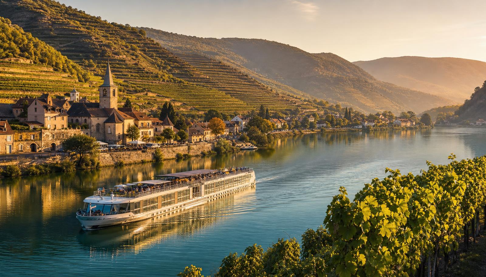
A narrow river vessel on a European river between wooded banks and a small town.

Cruise system

River cruises

A river voyage follows a navigable corridor rather than crossing an open region, and that single fact shapes the geography, the vessels and the pattern of a day.

Rivers covered
Twelve river systems, grouped geographically
Information model
River → main stretch → city or stop
Level of detail
Orientation, not berths, schedules or prices

The short answer

River cruising is a different form of travel from ocean cruising, not a smaller version of it. The vessel follows a navigable stretch of one river, stopping at places along it in order, so the geography, the constraints and the shape of a voyage all follow the waterway.

This section covers twelve river systems at an orientation level: where each river is cruised, the main stretches, the cities along them, and the conditions that govern navigation.

How a river voyage is shaped

River, then stretch, then stop

A river voyage is described from the waterway down: the river itself, the navigable stretch a voyage works, and the places along that stretch where the vessel ties up.

  1. River

    The whole waterway, only part of which is normally cruised.

  2. Main stretch

    A navigable section with its own conditions and character.

  3. City or stop

    Where the vessel ties up along that stretch.

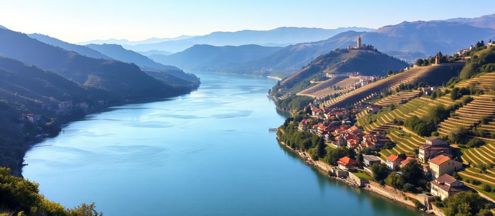
Broad river curving through a valley of terraced slopes with small settlements along both banks
A river corridor: a continuous inland waterway with land, settlements and slopes visible on both sides.

Different from ocean cruising

What the waterway decides

What the waterway itself decides about the vessel, the route and the rhythm of a day.

The geography is a line, not an area

An ocean region is a body of water with many possible tracks across it. A river forms a linear corridor, so itineraries generally follow the sequence of places along a navigable stretch rather than crossing an open region.

Travel days work differently

Time between stops is largely spent moving along a river corridor with a visible bank, rather than crossing open water, so the rhythm of a day differs from an ocean itinerary.

Locks and bridges set the pace

Navigation is regulated by locks, weirs and fixed bridge clearances. These are engineering constraints on the waterway, and they shape how far a vessel can travel between stops in a day.

Water level is a real variable

Rivers rise and fall. Waterway authorities publish gauge readings, and both unusually low and unusually high water can restrict navigation on a stretch. This has no equivalent in ocean cruising.

Vessel size follows the waterway

River vessels are dimensioned by the waterway itself — lock chambers, bridge clearances and depth — rather than by port capacity, which is why they are small compared with ocean ships.

The waterway is often shared with freight

Several of these rivers, including the Danube and the Rhine, are working commercial waterways carrying cargo traffic. Cruise vessels are one user of the corridor among several, under the same navigation rules.

Inside a river voyage

What the corridor means once you are on board

The waterway constraints on the previous section are not abstract. They show up as concrete features of a river vessel and of a day on one.

Why river ships all look roughly the same size

On the European network the binding limits are lock chambers and fixed bridges. A vessel that cannot fit a lock chamber cannot pass it, and a vessel too tall for a bridge cannot pass under it at normal water levels. Those two dimensions are set by the waterway, not by the operator, so vessels are built to fill them.

The result is a fleet that converges on a similar footprint: long and narrow, only a few decks high, and carrying roughly one to two hundred passengers rather than thousands. That in turn fixes what can be aboard — typically one main restaurant, one lounge and an open sun deck, with no theatres, no tender operations and no separate ship districts to navigate.

It also explains the sun deck rules. Where clearance is tight, railings, wheelhouses and deck furniture are lowered and the top deck is closed while the vessel passes under a bridge. This is a navigation requirement, not a weather decision.
  1. Approach

    The vessel queues

    Locks handle one vessel movement at a time and freight traffic uses the same chambers, so waiting is normal.

  2. Entry

    Into the chamber

    Clearance at the sides is often a matter of centimetres, which is why the passage is slow and closely handled.

  3. Level change

    Water in or out

    Gates close and the chamber is filled or emptied, raising or lowering the vessel to the next reach of the river.

  4. Exit

    Onward at a new level

    A voyage across a dammed river is a sequence of such steps rather than a continuous slope.

Moorings sit in town

River vessels are small enough to tie up on urban embankments, so the walk ashore usually begins in the centre of the place rather than at an industrial terminal outside it.

Vessels raft together

Where mooring space is limited, vessels tie side by side and passengers cross through a neighbouring vessel to reach the quay. A window view can therefore be another vessel's corridor for part of a stay.

There are no sea days

Time between stops is spent moving along a corridor with a bank in sight, and stretches are short enough that a vessel can be alongside somewhere new on most days of a voyage.

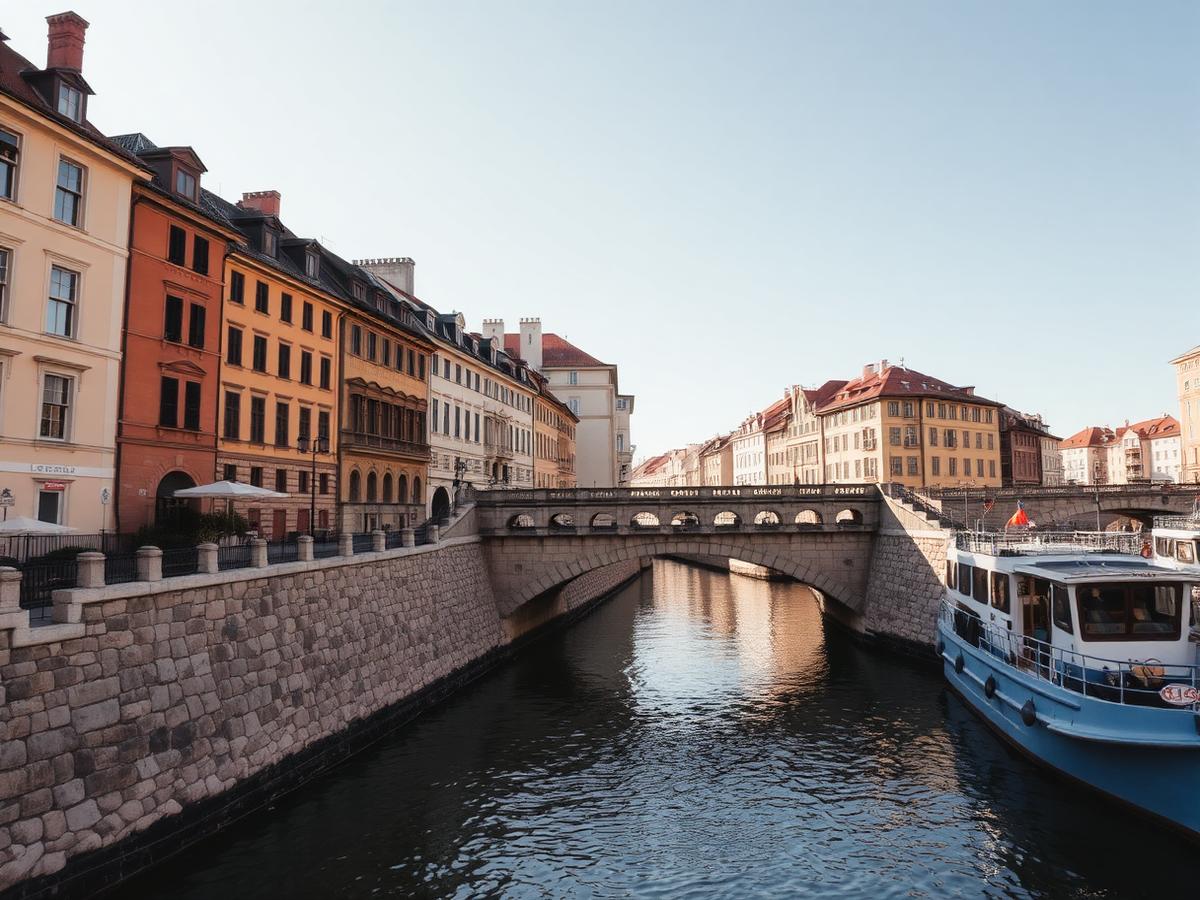
Stone embankment and low bridge along a narrow European river with historic buildings directly on the waterfront
A river city waterfront: embankments, low bridges and built-up banks close to the channel.

The rivers

Twelve river systems as a geographic set

Twelve major river-cruise systems are currently covered, grouped geographically and listed alphabetically within each group.

DouroSeineRhône & SaôneRhineMoselleMain and the Main–Danube CanalElbeDanube
The eight European river systems covered here
MississippiColumbia & SnakeNileMekong
The four river systems covered outside Europe

Western and central Europe

Connected and partly interconnected waterways, with locks, fixed bridges and shared commercial traffic as everyday navigation conditions.

Danube

A west-to-east corridor from Germany to the Black Sea, cruised mainly between Passau, Vienna, Budapest and the Danube Delta.

Countries
Flows through or borders Germany, Austria, Slovakia, Hungary, Croatia, Serbia, Romania, Bulgaria, Moldova and Ukraine
Cruised stretch
Mainly Nuremberg or Passau to Budapest, and Budapest to the Danube Delta
Season
Roughly April to October, with a short Christmas-market period in December

3 main stretches · 15 places mapped

Douro

A short Portuguese valley from Porto upstream through the terraced Alto Douro wine country to the Spanish border.

Countries
Portugal, with border stops facing Spain
Cruised stretch
Porto upstream to Barca d'Alva, usually as a round trip
Season
Roughly March to November

2 main stretches · 4 places mapped

Elbe

A Czech–German corridor from Prague and the sandstone gorge through Dresden and Magdeburg to Hamburg.

Countries
Czechia, Germany
Cruised stretch
Prague or Dresden downstream to Magdeburg and Hamburg
Season
Roughly April to October, subject to water levels

2 main stretches · 7 places mapped

Main and the Main–Danube Canal

The German connecting corridor from the Rhine at Mainz through Franconia and the Main–Danube Canal to Kelheim.

Countries
Germany
Cruised stretch
Mainz through Frankfurt, Würzburg, Bamberg and Nuremberg to Kelheim
Season
Roughly April to October, plus a strong December Christmas-market period

2 main stretches · 6 places mapped

Moselle

A narrow German wine valley from the Rhine at Koblenz upstream past Cochem and Bernkastel to Trier and Luxembourg.

Countries
Germany, Luxembourg, France
Cruised stretch
Koblenz upstream to Trier and Remich
Season
Roughly April to October

2 main stretches · 5 places mapped

Rhine

A south-to-north corridor from Basel to the Dutch delta, built around the Upper Middle Rhine Valley gorge.

Countries
Flows through or borders Switzerland, Liechtenstein, Austria, Germany, France and the Netherlands
Cruised stretch
Mainly Basel to Amsterdam or Rotterdam
Season
Roughly April to October, with a December Christmas-market period

3 main stretches · 13 places mapped

Rhône & Saône

A north–south French corridor from Burgundy through Lyon to Provence and the Camargue.

Countries
France (the Rhône rises in Switzerland, above the cruised reach)
Cruised stretch
Chalon-sur-Saône or Lyon downstream to Avignon and Arles
Season
Roughly March to November

2 main stretches · 7 places mapped

Seine

A short French corridor from Paris downstream through Normandy to Rouen and the Seine estuary.

Countries
France
Cruised stretch
Paris downstream to Rouen and Honfleur, usually as a round trip
Season
Roughly April to October, with a short December period in Paris

2 main stretches · 6 places mapped

Africa, Asia and the Americas

Separate river systems with their own navigation authorities, hydrology and seasonal patterns, each cruised on a distinct stretch.

Columbia & Snake

A Pacific Northwest corridor from Astoria and Portland through the Columbia Gorge and up the Snake to Idaho.

Countries
United States
Cruised stretch
Astoria and Portland upstream to Clarkston and Lewiston
Season
Roughly March to November

2 main stretches · 6 places mapped

Mekong

A Vietnam–Cambodia corridor from the Mekong delta through Phnom Penh towards the Tonlé Sap and Angkor.

Countries
Vietnam and Cambodia (the upper Mekong in Laos, Thailand, Myanmar and China is a separate matter)
Cruised stretch
The Vietnamese delta to Phnom Penh, Kampong Cham and the Tonlé Sap
Season
Roughly August to April, following the water level

2 main stretches · 6 places mapped

Mississippi

The long North American corridor from New Orleans upstream to St. Paul, with Ohio and Cumberland connections.

Countries
United States
Cruised stretch
New Orleans to St. Paul, plus Ohio and Cumberland connections
Season
Roughly March to December

3 main stretches · 8 places mapped

Nile

A short Egyptian reach between Luxor and Aswan linking the temple sites, plus a separate Lake Nasser circuit.

Countries
Egypt
Cruised stretch
Luxor to Aswan and back, with a separate Aswan–Abu Simbel lake circuit
Season
Year-round, with the main season October to April

3 main stretches · 7 places mapped

What this section covers

Orientation level, and where the live detail lives

Coverage stops at the level that helps you understand a river as a cruise corridor.

Covered here

  • Where each river is cruised, and how far
  • The main stretches and their navigation conditions
  • The cities and stops along each stretch
  • Broad seasonal patterns and water-level context

Published elsewhere

  • Quay and berth assignments
  • Day-by-day itineraries and departure dates
  • Operator and vessel inventories, and prices
  • Live water levels and navigation notices

Those change constantly and belong with the waterway authorities and operators who publish them.

Sources & verification

Facts on this page are taken from the sources below. Cruise lines are used only as sources for facts about their own operations, never as sources of independent assessment.