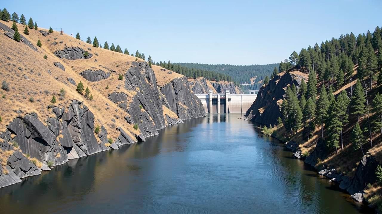
The Columbia and Snake corridor begins at tidewater near the Pacific and ends more than 200 metres higher, hundreds of kilometres inland. That is possible because the rivers were dammed for power, irrigation and navigation, and every dam carries a large lock. The voyage is a stepped ascent through them.
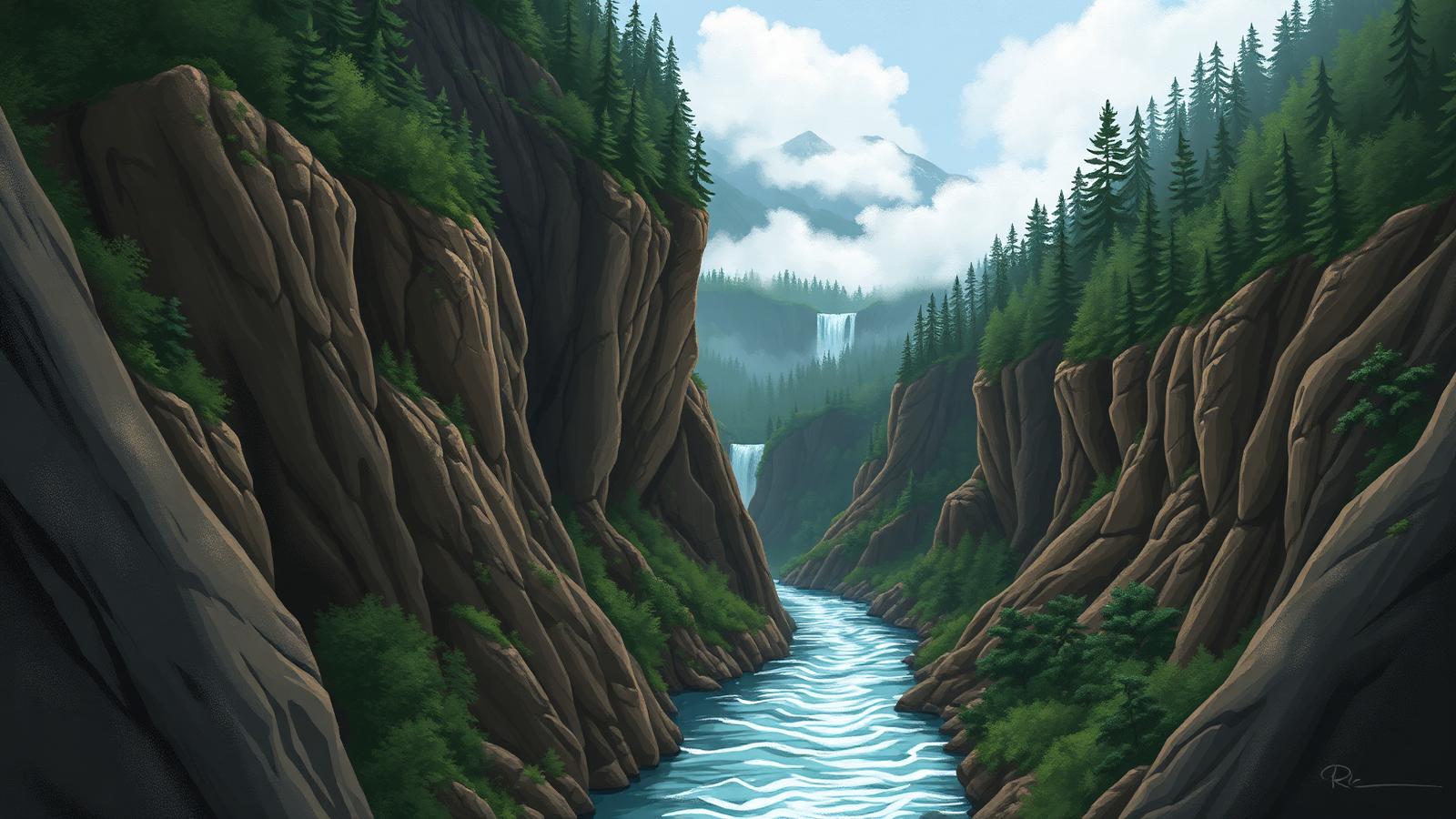
The landscape changes as fast as the elevation. The lower river is wet, forested and green; the ship then passes through the Columbia River Gorge, where the river cuts through the Cascade range, and comes out into dry, treeless country on the far side. Crossing a mountain barrier by water is what produces that abrupt change from rainforest to shrub-steppe within a single day's sailing.
The corridor also carries a specific history. It is the river route the Lewis and Clark expedition followed to the Pacific, and the interpretive content of these voyages leans heavily on that and on the Indigenous nations of the region, because the towns along the way are small and the river itself is the main subject.