Skip to content
SnapVoyagesIndependent cruise information
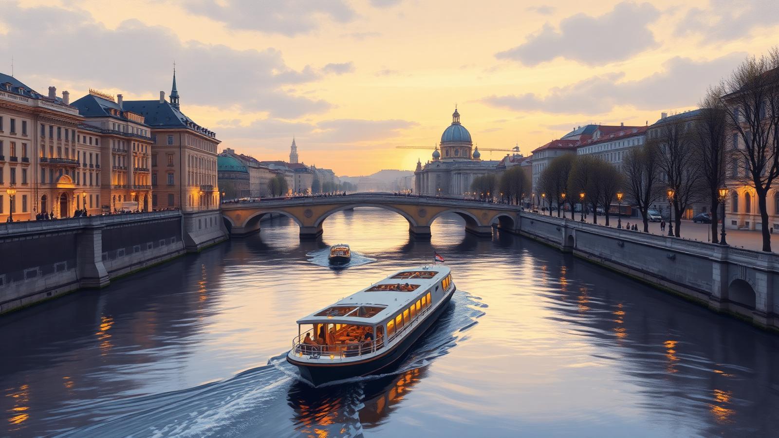
Illustrative AI-generated scene of a narrow river vessel on a European city river beneath stone bridges at dusk

River cruise system

Seine River Cruises

The Seine is a short, sheltered corridor between Paris and the Channel coast. Cruising it means one city at one end, Normandy at the other, and a looping green valley in between — a compact route rather than a long journey.

The short answer

The cruised Seine is only a few hundred kilometres long, and most voyages travel down and back rather than in one direction. That round-trip shape is unusual in river cruising and is a consequence of the geography: there is no onward waterway of interest beyond the estuary, so the practical route is Paris and return.

Because the river loops so heavily through the Île-de-France, distances on the water are much longer than distances over land. The result is a slow itinerary with short hops between stops, and a great deal of the day spent moored rather than under way.

At a glance

Where it runs
Northern France, from Paris to the English Channel
Length
About 775 km from source to estuary
Countries
France
Cruised stretch
Paris downstream to Rouen and Honfleur, usually as a round trip
Season
Roughly April to October, with a short December period in Paris
Main start and end points
Paris, and to a lesser extent Rouen and Le Havre

The Seine as a corridor

  1. River

    Seine

    Northern France, from Paris to the English Channel

  2. Cruised stretch

    Paris downstream to Rouen and Honfleur, usually as a round trip

  3. Stretches

    2 in downstream order

    Paris and the Île-de-France reach → The Normandy Seine

  4. Places along it

    6 cities and stops

    Listed in downstream order further down this page.

Why a river is not a region

One waterway, in a fixed order

A cruise region can be entered from several directions. A river corridor can only be travelled upstream or downstream along the same line.

Vessels here are small by European standards. Lock dimensions and low bridges in and above Paris limit length and air draught, which is a structural constraint on the waterway, not a service decision.

The Seine corridor

The river's own course, with the cities river cruises use. Select a stretch to focus on it.

ParisConflans-Sainte-HonorineVernonLes AndelysRouenHonfleur

Every city on the map

  • ParisFrance, start or end point.
  • Conflans-Sainte-HonorineFrance, stop along the way.
  • VernonFrance, stop along the way, serving Giverny, a few kilometres inland.
  • Les AndelysFrance, stop along the way.
  • RouenFrance, stop, and a start or end point.
  • HonfleurFrance, stop along the way, serving The Normandy coast and the landing beaches, by road.

The line is the river's own course, not the track of any voyage. Cities are the ones needed to understand the corridor, not a complete list of everywhere a vessel can tie up.

What cruising the Seine actually means

A round-trip corridor
Most voyages start and finish in Paris, running downstream to Normandy and back. The same reach is therefore usually passed twice, in opposite directions.
Small vessels by necessity
Lock chamber sizes and low bridge clearances on the Seine restrict vessel dimensions, so this is one of the smaller-ship European rivers.
Two very different halves
The upper reach is a metropolitan and rural French valley; below Rouen the river is a tidal commercial estuary with the Normandy coast beyond it.
History rather than landscape drives the stops
Giverny, Rouen and the Normandy landing beaches are reached from the river, and much of the interest is what lies a short distance inland rather than the riverbank itself.
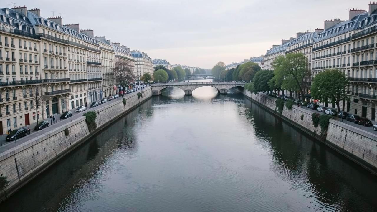
A calm river through a large city with stone quays, low arched bridges and dense apartment facades
Stone quays and low bridges: mooring happens inside the built city, and bridge clearance sets what can pass beneath.

Why Seine voyages go out and come back instead of going somewhere

The cruised Seine is a short corridor with a very strong anchor at one end. Paris is both the reason for the voyage and the easiest place in the region to reach, so vessels work downstream through the Normandy loops and return rather than ending somewhere that would be harder to fly home from.

The river below Paris is heavily meandering, so progress is slow relative to the map distance and towns that look close by road take much longer by water. That is why the same handful of places recur: the corridor is short, and the ship has time to stop in most of what is on it.

The lower limit is set by the sea. Around Rouen the Seine becomes tidal and turns into a deep-water ship channel, which is where river cruising effectively stops and where the historical and wartime Normandy coast becomes a shore excursion by road rather than a place the vessel reaches.

The shape of the corridor

One city, one loop, one coast just out of reach

Paris supplies the arrival point, the Normandy meanders supply the stops, and the coast is reached overland from the river rather than by sailing to it.

The main stretches

A river has an order rather than fuzzy edges. These are the stretches the corridor divides into, in the direction the water flows.

Paris and the Île-de-France reach

Paris downstream to Vernon and Les AndelysFrance

The upstream end of the cruised Seine. Vessels moor in central Paris and work downstream through a green, meandering valley of chalk cliffs, small towns and country houses. The river loops heavily here, so progress over the ground is slow relative to the distance travelled on the water.

Navigation: Locked and canalised throughout, with a series of large navigation locks maintained by the French waterway authority. Bridge clearances in Paris are low, which is one reason Seine vessels are among the smallest in European river cruising.

The Normandy Seine

Vernon through Rouen to Honfleur and the estuaryFrance

The river widens as it enters Normandy, passing Rouen — the historic river port and the last city on the Seine reachable by sea-going ships. Below Rouen the valley becomes tidal estuary, with the Channel coast and the Normandy landing beaches within reach by road.

Navigation: Below Rouen the Seine is tidal and free of locks, so timing on this stretch follows the tide rather than lock availability.

Cities and stops along the river

The main places along the corridor, in downstream order within each stretch.

Cities and stops used by Seine river cruises
PlaceCountryStretchRoleWhy it matters
ParisFranceParis and the Île-de-France reachStart or end pointThe usual start and end point. Vessels moor along the central quays, on a stretch of riverbank inscribed as World Heritage.
Conflans-Sainte-HonorineFranceParis and the Île-de-France reachStop along the wayWhere the Oise joins the Seine, and the traditional centre of French inland barge navigation.
VernonFranceParis and the Île-de-France reachStop along the wayServes Giverny, a few kilometres inland.
Les AndelysFranceParis and the Île-de-France reachStop along the wayBelow the ruins of Château Gaillard, on one of the tighter loops of the valley.
RouenFranceThe Normandy SeineStop, and a start or end pointThe head of sea navigation on the Seine and a working commercial port as well as a cruise stop.
HonfleurFranceThe Normandy SeineStop along the wayAt the mouth of the estuary; the downstream limit of most Seine voyages.

How voyages are structured

The shapes voyages take along this corridor: where they start, which way they run and how far they reach.

Paris round trip through Normandy

The dominant structure: Paris downstream to Rouen or Honfleur and back, with stops repeated or varied on the return leg.

Normandy-focused voyages

Voyages weighted towards the lower river, using Rouen and Honfleur as the base for reaching the coast and the landing beaches by road.

Paris-based short voyages

Short itineraries that stay in the Île-de-France reach, using the city as the anchor rather than travelling far downstream.

When voyages operate

The Seine does not freeze and is locked and regulated for most of its cruised length, so the season is set by weather on deck and daylight rather than by the state of the river.

Winter and early spring high water is the main navigational constraint here: when the Seine rises, clearance under the Paris bridges is reduced and mooring on the central quays can be suspended.

A short December pattern of Paris-based voyages exists, built around the city rather than around cruising distance.

Cruise activity through the year — the Seine
Essentially no cruisesLow seasonShoulder periodPeak cruise activity
Read this as a table
Relative cruise activity by month in the the Seine cruise region
MonthCruise activity
JanEssentially no cruises
FebEssentially no cruises
MarLow season
AprShoulder period
MayPeak cruise activity
JunPeak cruise activity
JulPeak cruise activity
AugPeak cruise activity
SepPeak cruise activity
OctPeak cruise activity
NovLow season
DecLow season

An indicative pattern of when voyages operate, drawn from waterway and season information rather than any operator's schedule.

Practical conditions that shape a voyage

Conditions on this river that can change what actually happens on a voyage.

High water, not low water, is the Seine's issue

Unlike the free-flowing German rivers, the regulated Seine rarely runs too shallow. The recurring winter and spring problem is the opposite: too much water for the bridges.

Central Paris moorings are limited

There are a finite number of quays in the city and they are allocated locally, so which one a vessel gets — and how central it is — is not fixed in advance.

Several stops are road excursions

Giverny from Vernon and the landing beaches from Honfleur or Rouen are inland by road. The river is the way there, not the destination itself.

What to know about the Seine

Key facts

  • About 775 km long, from Burgundy to the Channel at Le Havre.
  • The cruised stretch is essentially Paris to the estuary, usually as a round trip.
  • The banks of the Seine in central Paris are inscribed as UNESCO World Heritage.
  • Rouen is the furthest point upstream that sea-going ships reach.
  • Vessel size is limited by lock dimensions and Paris bridge clearances.
  • Below Rouen the river is tidal and has no locks.

What to check when comparing voyages

  • Whether the voyage is a round trip from Paris, and how much of the route is repeated.
  • How many stops are walk-off moorings and how many are coach excursions inland.
  • Where in Paris the vessel moors, since central quays are limited.
  • What the operator states about high water and reduced bridge clearance.
  • Whether Normandy coastal sites are included from the river or only mentioned as nearby.
  • Danube river cruises

    A west-to-east corridor from Germany to the Black Sea, cruised mainly between Passau, Vienna, Budapest and the Danube Delta.

  • Rhine river cruises

    A south-to-north corridor from Basel to the Dutch delta, built around the Upper Middle Rhine Valley gorge.

  • Rhône & Saône river cruises

    A north–south French corridor from Burgundy through Lyon to Provence and the Camargue.

  • Douro river cruises

    A short Portuguese valley from Porto upstream through the terraced Alto Douro wine country to the Spanish border.

  • Main and the Main–Danube Canal river cruises

    The German connecting corridor from the Rhine at Mainz through Franconia and the Main–Danube Canal to Kelheim.

  • Moselle river cruises

    A narrow German wine valley from the Rhine at Koblenz upstream past Cochem and Bernkastel to Trier and Luxembourg.

  • Elbe river cruises

    A Czech–German corridor from Prague and the sandstone gorge through Dresden and Magdeburg to Hamburg.

  • Nile river cruises

    A short Egyptian reach between Luxor and Aswan linking the temple sites, plus a separate Lake Nasser circuit.

  • Mekong river cruises

    A Vietnam–Cambodia corridor from the Mekong delta through Phnom Penh towards the Tonlé Sap and Angkor.

  • Mississippi river cruises

    The long North American corridor from New Orleans upstream to St. Paul, with Ohio and Cumberland connections.

  • Columbia & Snake river cruises

    A Pacific Northwest corridor from Astoria and Portland through the Columbia Gorge and up the Snake to Idaho.

  • How river cruising differs from ocean cruising

    The structural differences: locks, water level, city-centre mooring and no sea days.

Sources & verification

Facts on this page are taken from the sources below. Cruise lines are used only as sources for facts about their own operations, never as sources of independent assessment.