Skip to content
SnapVoyagesIndependent cruise information
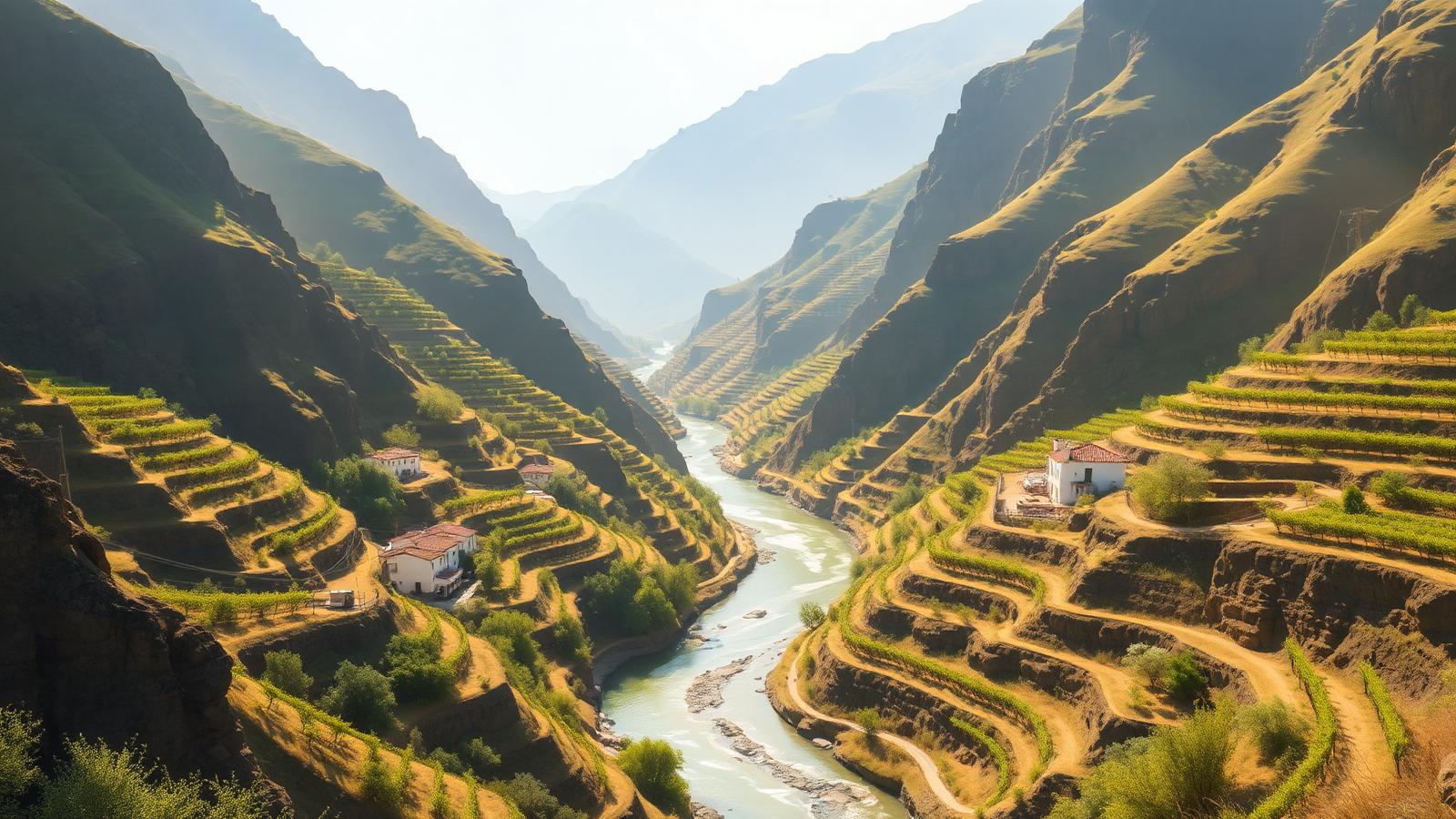
Illustrative AI-generated scene of a narrow river between steep terraced vineyard slopes in warm afternoon light

River cruise system

Douro River Cruises

The Douro is a single short valley in northern Portugal, cruised between Porto and the Spanish border. It is the most self-contained of the major cruise rivers: one country, one wine landscape, and one route in and out.

The short answer

Everything about the Douro is compressed. The navigable stretch is about 210 kilometres, there is effectively one gateway, and almost every voyage runs upstream and back. Where other rivers offer a choice of stretches, here the choice is mainly how long to spend on the same one.

The valley itself is the attraction. Vineyard terraces cut into schist slopes rise steeply from the water for most of the length of the upper river, a landscape shaped by two centuries of port-wine production and inscribed as World Heritage.

At a glance

Where it runs
Northern Portugal, from the Atlantic at Porto to the Spanish border
Length
About 900 km in total; roughly 210 km navigable in Portugal
Countries
Portugal, with border stops facing Spain
Cruised stretch
Porto upstream to Barca d'Alva, usually as a round trip
Season
Roughly March to November
Main start and end points
Porto

The Douro as a corridor

  1. River

    Douro

    Northern Portugal, from the Atlantic at Porto to the Spanish border

  2. Cruised stretch

    Porto upstream to Barca d'Alva, usually as a round trip

  3. Stretches

    2 in downstream order

    Lower Douro and the Porto estuary → Upper Douro and the wine country

  4. Places along it

    4 cities and stops

    Listed in downstream order further down this page.

Why a river is not a region

One waterway, in a fixed order

A cruise region can be entered from several directions. A river corridor can only be travelled upstream or downstream along the same line.

It is also a staircase. Five dams with navigation locks turned a once-dangerous river into a controlled waterway in the twentieth century, and passing through them — including one of Europe's deepest chambers — is part of the voyage rather than an interruption to it.

The Douro corridor

The river's own course, with the cities river cruises use. Select a stretch to focus on it.

PortoPeso da RéguaPinhãoBarca d'Alva

Every city on the map

  • PortoPortugal, start or end point.
  • Peso da RéguaPortugal, stop along the way.
  • PinhãoPortugal, stop along the way.
  • Barca d'AlvaPortugal, stop along the way, serving Salamanca in Spain, by road.

The line is the river's own course, not the track of any voyage. Cities are the ones needed to understand the corridor, not a complete list of everywhere a vessel can tie up.

What cruising the Douro actually means

One route, out and back
Navigation begins at Porto and ends at Barca d'Alva. Voyages therefore run up the river and return down it, rather than travelling point to point.
A staircase of dams
The cruised river is a series of impounded reaches separated by large navigation locks, including the Carrapatelo lock with a lift of about 35 metres.
A working agricultural landscape
The terraces are a functioning wine region, not scenery preserved for visitors. The Alto Douro is inscribed as a UNESCO cultural landscape on that basis.
Small vessels and few of them
Lock dimensions cap vessel length and beam on the Douro at smaller limits than on the Rhine or Danube, so ships here carry fewer passengers.
Land excursions leave the valley
Salamanca in Spain, Lamego and the mountain quintas are reached by road. The river gives access to the region; it does not pass through all of it.
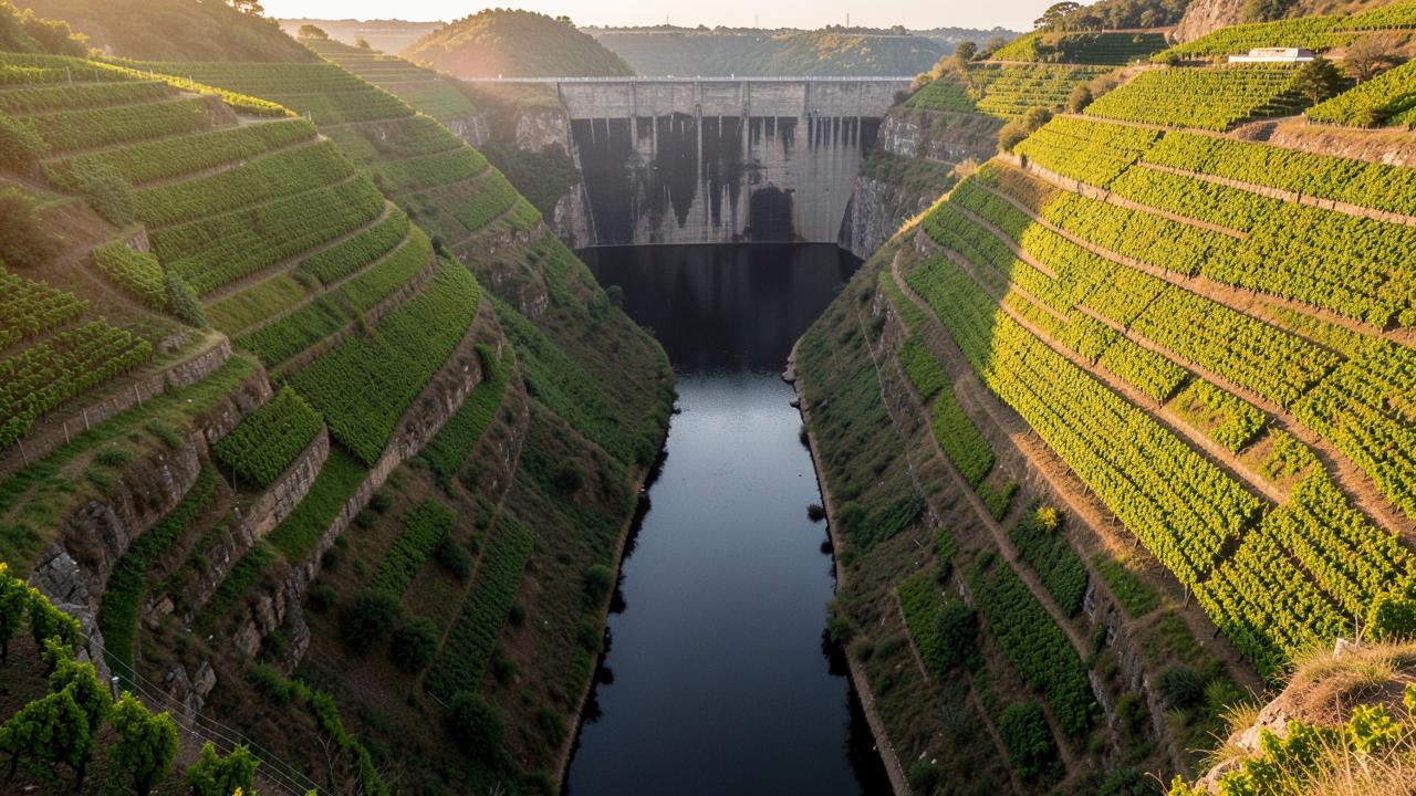
A deep valley with steep terraced vineyard slopes rising from still dark water held behind a dam
Still water in a steep valley: the river is held at level by dams, so the voyage is a sequence of steps between reaches.

Why the Douro is a staircase rather than a river journey

Until the twentieth century the Douro was dangerous and largely unnavigable: a rocky, fast river running through a gorge, down which wine was carried in flat-bottomed boats at real risk. What exists today is an engineered waterway, created by a series of dams that turned the rapids into a chain of still reaches.

Cruising the Douro therefore means climbing. Each dam has a lock, and one of them is among the deepest in Europe, so the vessel is lifted repeatedly from one flat pool to the next as it works inland from Porto towards the Spanish border.

The other thing the geography decides is the scale of the operation. The locks limit how large a vessel can be, the navigable stretch is short, and the corridor is a dead end for cruising rather than a route to somewhere else — voyages return the way they came, or the return leg is made by train or road.

From the Atlantic estuary into the wine country
  1. Porto

  2. Lower gorge

  3. Régua

  4. Pinhão

  5. Barca d'Alva

  1. Tidal estuary at sea level, where the river meets the Atlantic.
  2. The river narrows between steep sides.
  3. The heart of the demarcated wine region.
  4. Terraced quintas on both banks.
  5. The practical limit of cruising, near the Spanish border.

Schematic: the diagram shows that the voyage is a sequence of lifts between held pools, not a continuous slope. Each step is a dam with a lock.

The main stretches

A river has an order rather than fuzzy edges. These are the stretches the corridor divides into, in the direction the water flows.

Lower Douro and the Porto estuary

Porto and Vila Nova de Gaia upstream to RéguaPortugal

The seaward end of the river, beginning in the middle of Porto between the port lodges of Vila Nova de Gaia and the old town. Upstream the valley narrows quickly into steep, terraced hillsides.

Navigation: The whole cruised Douro is a staircase of dams. This stretch includes the Carrapatelo lock, one of the deepest lock chambers in Europe.

Upper Douro and the wine country

Régua through Pinhão to Barca d'Alva and the Spanish borderPortugal, Spain

The heart of the Alto Douro, a UNESCO-listed wine landscape of terraced vineyards cut into schist slopes. Settlements are small; the stops here are villages and quintas rather than cities, and Salamanca is reached by road from the border at Barca d'Alva.

Navigation: Navigation ends at Barca d'Alva. The river continues into Spain as the Duero, but it is not navigable for cruise vessels above that point.

Cities and stops along the river

The main places along the corridor, in downstream order within each stretch.

Cities and stops used by Douro river cruises
PlaceCountryStretchRoleWhy it matters
PortoPortugalLower Douro and the Porto estuaryStart or end pointEffectively the only gateway on the river. Vessels lie in the city between the old town and the Gaia port lodges.
Peso da RéguaPortugalLower Douro and the Porto estuaryStop along the wayThe administrative centre of the demarcated port-wine region.
PinhãoPortugalUpper Douro and the wine countryStop along the wayA village surrounded by terraced vineyards, in the most photographed reach of the valley.
Barca d'AlvaPortugalUpper Douro and the wine countryStop along the wayThe upstream limit of navigation, at the Spanish border.

How voyages are structured

The shapes voyages take along this corridor: where they start, which way they run and how far they reach.

Porto round trip to Barca d'Alva

The standard voyage: upstream through the wine country to the border and back down, typically with different stops on each leg.

Voyages with a Spanish land excursion

The same corridor, with a road excursion from the upper river to Salamanca across the border.

Porto-based short voyages

Shorter itineraries that stay on the lower river and treat Porto and the nearest terraces as the whole route.

When voyages operate

The valley has a hot, dry summer and a mild, wet winter. Voyages run from early spring to late autumn, and the inland upper valley is considerably hotter in July and August than coastal Porto.

September and October coincide with the grape harvest, which is a visible part of the working landscape rather than an event laid on for visitors.

There is no significant winter cruise season on the Douro.

Cruise activity through the year — the Douro
Essentially no cruisesShoulder periodPeak cruise activityLow season
Read this as a table
Relative cruise activity by month in the the Douro cruise region
MonthCruise activity
JanEssentially no cruises
FebEssentially no cruises
MarShoulder period
AprPeak cruise activity
MayPeak cruise activity
JunPeak cruise activity
JulPeak cruise activity
AugPeak cruise activity
SepPeak cruise activity
OctPeak cruise activity
NovLow season
DecEssentially no cruises

An indicative pattern of when voyages operate, drawn from waterway and season information rather than any operator's schedule.

Practical conditions that shape a voyage

Conditions on this river that can change what actually happens on a voyage.

Locks are deep and slow

Passing five lock complexes each way takes time and is a scheduled part of the day. The deepest chamber is a closed lift of roughly 35 metres.

Stops are villages, not cities

Apart from Porto, the upper river has small settlements. What is available ashore is correspondingly limited, and organised excursions do much of the work.

Summer heat inland

The upper valley regularly runs much hotter than the coast in midsummer, which affects how comfortable daytime excursions are.

A short river with limited capacity

Because there is one navigable corridor and a small number of moorings, the river is busier per kilometre than its size suggests.

What to know about the Douro

Key facts

  • About 210 km of the Douro is navigable, from Porto to Barca d'Alva.
  • Five dams with navigation locks control the cruised river.
  • The Carrapatelo lock has a lift of roughly 35 metres, among the deepest in Europe.
  • The Alto Douro Wine Region and the historic centre of Porto are both UNESCO World Heritage sites.
  • Navigation stops at the Spanish border; the Spanish Duero is not cruised.
  • Vessel dimensions are limited by lock size, so ships are smaller than on the Rhine or Danube.

What to check when comparing voyages

  • That the voyage is a round trip, and how the two legs differ.
  • Whether a Spanish land excursion is included, and how long the road transfer is.
  • How much of the itinerary is spent on the upper river, where the terraces are.
  • Summer temperatures inland if travelling in July or August.
  • Whether the harvest period matters to you, since it is a working season in the valley.
  • Danube river cruises

    A west-to-east corridor from Germany to the Black Sea, cruised mainly between Passau, Vienna, Budapest and the Danube Delta.

  • Rhine river cruises

    A south-to-north corridor from Basel to the Dutch delta, built around the Upper Middle Rhine Valley gorge.

  • Seine river cruises

    A short French corridor from Paris downstream through Normandy to Rouen and the Seine estuary.

  • Rhône & Saône river cruises

    A north–south French corridor from Burgundy through Lyon to Provence and the Camargue.

  • Main and the Main–Danube Canal river cruises

    The German connecting corridor from the Rhine at Mainz through Franconia and the Main–Danube Canal to Kelheim.

  • Moselle river cruises

    A narrow German wine valley from the Rhine at Koblenz upstream past Cochem and Bernkastel to Trier and Luxembourg.

  • Elbe river cruises

    A Czech–German corridor from Prague and the sandstone gorge through Dresden and Magdeburg to Hamburg.

  • Nile river cruises

    A short Egyptian reach between Luxor and Aswan linking the temple sites, plus a separate Lake Nasser circuit.

  • Mekong river cruises

    A Vietnam–Cambodia corridor from the Mekong delta through Phnom Penh towards the Tonlé Sap and Angkor.

  • Mississippi river cruises

    The long North American corridor from New Orleans upstream to St. Paul, with Ohio and Cumberland connections.

  • Columbia & Snake river cruises

    A Pacific Northwest corridor from Astoria and Portland through the Columbia Gorge and up the Snake to Idaho.

  • How river cruising differs from ocean cruising

    The structural differences: locks, water level, city-centre mooring and no sea days.

Sources & verification

Facts on this page are taken from the sources below. Cruise lines are used only as sources for facts about their own operations, never as sources of independent assessment.