Southeast Asia
The waters around the Malay Peninsula and the South China Sea, centred on Singapore, with calls in Thailand, Malaysia and Vietnam. Sailing distances here are long compared with European cruise areas.
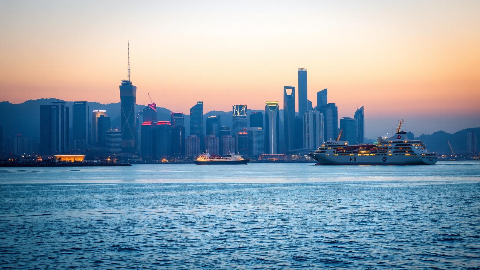
Ocean cruise region
Asia is not one cruise region so much as several. The tropical waters around Singapore operate all year, while Japan, Korea and northern China have a distinct spring and autumn season, and the distances between them are long.
The practical division is between Southeast Asia, centred on Singapore, and North Asia, centred on Yokohama, Shanghai and Hong Kong. Between them lies a lot of open water: ships reposition between the two rather than covering both in a single short cruise.
Sailing distances are the defining constraint. A seven-night Southeast Asian itinerary generally has more sea days than a Mediterranean one of the same length, and several ports serve a city that is one to two hours inland.
Region
Asia
The maritime rim of eastern and southeastern Asia, from the Andaman Sea and Singapore to the South China Sea, Taiwan, Korea and Japan.
Subregion
Southeast Asia, Greater China and Taiwan, Japan and Korea.
Departure port
Singapore, Hong Kong, Shanghai, Yokohama and Tokyo, Keelung, Busan.
Ports of call
11 ports covered here
Grouped by subregion further down this page.
Ports here are a mix of very large modern city terminals — Singapore, Kai Tak in Hong Kong, Shanghai, Yokohama — and smaller commercial ports used as the access point for a well-known destination further inland.
Asia's maritime rim spans roughly 45 degrees of latitude, from the equator at Singapore to northern Japan. That single fact splits it. The southern half sits in the tropics, where sea and air temperatures barely change through the year and the monsoon alters rainfall rather than shutting the season down. The northern half is temperate, with four distinct seasons, and its usable window is set by heat and humidity in summer, cold in winter and tropical cyclones in between.
The gap between the two halves is water. Singapore to Hong Kong is a passage of several days, and Hong Kong to Yokohama several more. A ship therefore works one half at a time and repositions between them, which is why Southeast Asia and Japan appear as separate products even though a map shows them as one coastline.
Switch between cruise areas, ports, departure gateways and cruise-line presence. Areas are geographic zones rather than routes: a ship crosses them in whatever order its itinerary sets, and the same area can be reached from more than one gateway.
The main geographic divisions of the region.
The characteristics below are the ones that materially shape how a cruise here is built and what a day ashore looks like.
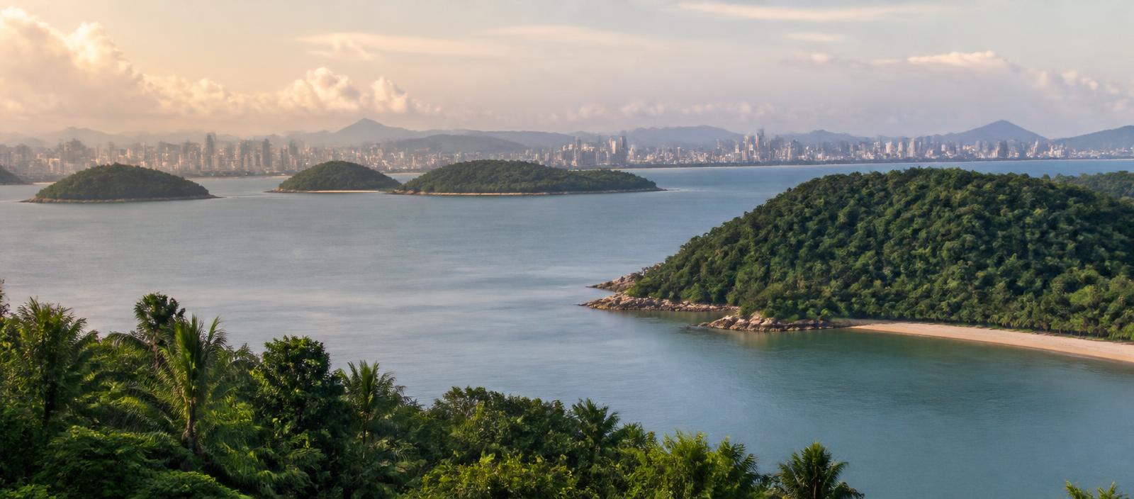
The parts of the region differ in sailing distance, gateway access and the kind of port day they produce — which is what decides where an itinerary can realistically go.
The waters around the Malay Peninsula and the South China Sea, centred on Singapore, with calls in Thailand, Malaysia and Vietnam. Sailing distances here are long compared with European cruise areas.
The coast from Hong Kong north to Shanghai, including Taiwan. Both Hong Kong and Shanghai act as turnaround ports for ships based in the region.
The Sea of Japan and Pacific coasts of Japan together with Busan in South Korea, plus Okinawa further south. Yokohama and Tokyo are the main Japanese turnaround ports.
| Subregion | Representative ports | How its cruise pattern differs |
|---|---|---|
| Southeast Asia | Singapore, Laem Chabang, Phuket, Phu My | Tropical and effectively year-round, with more sea days between ports and several ports that serve a city hours inland. |
| Greater China and Taiwan | Hong Kong, Shanghai, Keelung | Short international hops between very large city ports, with a season shaped by the East Asian typhoon period rather than by cold. |
| Japan and Korea | Yokohama, Tokyo, Busan, Naha | A temperate, strongly seasonal area with a spring and autumn concentration, unlike the year-round tropics further south. |
Itineraries here fall into a small number of recurring shapes, set by where the gateways are and how far apart the ports lie.
3 patterns across 3 subregions
A pattern is a shape of route, not a sailing. Which one an itinerary follows decides how much of the region it covers.
A Southeast Asian loop calling in Malaysia, Thailand or Vietnam, with sea days between the longer legs. The most common shape in the tropical south.
A round-trip along the Japanese coast, sometimes adding Busan in South Korea, concentrated in spring or autumn.
For example between Hong Kong, Keelung, Shanghai and Japan, requiring an open-jaw flight booking and often crossing several jurisdictions.
Distance is the structural constraint. In the Mediterranean, ports are often close enough that an overnight run of a few hours separates them, so a seven-night itinerary can carry six calls. Across the South China Sea the equivalent legs are far longer, so sea days are designed into the itinerary rather than left over. A week from Singapore commonly reaches three or four ports.
The second effect is inland distance. Laem Chabang is roughly two hours from Bangkok, and Phú Mỹ a comparable drive from Ho Chi Minh City, so a large share of an Asian port day is spent travelling on land. Where the city is at the berth — Singapore, Hong Kong, Yokohama for Yokohama itself — the same nine hours ashore buy considerably more time in the place. Reading the distance from berth to city is more informative here than counting the number of ports.
The ports where cruises in this region commonly begin.
| Port | Country | Subregion | Why it matters |
|---|---|---|---|
| Singapore | Singapore | Southeast Asia | The main turnaround port of Southeast Asian cruising, with dedicated cruise facilities under the Singapore port authority. |
| Hong Kong | Hong Kong SAR, China | Greater China and Taiwan | A turnaround port and call, with the Kai Tak cruise terminal built on the former airport runway in Victoria Harbour. |
| Shanghai | China | Greater China and Taiwan | A major Chinese turnaround port; cruise ships use terminals on the Huangpu and at Wusongkou downriver from the city. |
| Keelung | Taiwan | Greater China and Taiwan | The northern Taiwanese port that serves Taipei, used both as a call and as a turnaround port. |
| Yokohama | Japan | Japan and Korea | Japan's principal cruise turnaround port, in the Tokyo Bay area and connected to central Tokyo by rail. |
| Tokyo | Japan | Japan and Korea | The Tokyo International Cruise Terminal in Tokyo Bay, used alongside Yokohama for larger ships. |
| Busan | South Korea | Japan and Korea | South Korea's largest port, on the Korea Strait, and a common call on Japan and Korea itineraries. |
Grouped by subregion, with what each port gives access to and how close the ship berths to it.
Singapore
Departure port and port of call
The main turnaround port of Southeast Asian cruising, with dedicated cruise facilities under the Singapore port authority.
Thailand
Port of call
Gateway for Bangkok.
Thailand's deep-sea port on the Gulf of Thailand and the sea access point for Bangkok, roughly two hours away by road.
Thailand
Port of call
An Andaman Sea call on the western side of the Malay Peninsula, on itineraries that leave the South China Sea side.
Vietnam
Port of call
Gateway for Ho Chi Minh City.
The commercial port used by cruise ships calling for Ho Chi Minh City, which is around two hours inland.
Hong Kong SAR, China
Departure port and port of call
A turnaround port and call, with the Kai Tak cruise terminal built on the former airport runway in Victoria Harbour.
China
Departure port and port of call
A major Chinese turnaround port; cruise ships use terminals on the Huangpu and at Wusongkou downriver from the city.
Taiwan
Departure port and port of call
Gateway for Taipei.
The northern Taiwanese port that serves Taipei, used both as a call and as a turnaround port.
Japan
Departure port and port of call
Gateway for Tokyo.
Japan's principal cruise turnaround port, in the Tokyo Bay area and connected to central Tokyo by rail.
Japan
Departure port and port of call
The Tokyo International Cruise Terminal in Tokyo Bay, used alongside Yokohama for larger ships.
South Korea
Departure port and port of call
South Korea's largest port, on the Korea Strait, and a common call on Japan and Korea itineraries.
Japan
Port of call
The port of Okinawa's capital, on the sea route between Japan and Taiwan or mainland China.
Listed alphabetically. Presence is taken from each line's own published destination information.
A factual description of the segments present in this region. What ship size changes in general — port access, facilities, motion and density — is explained once on ships explained.
Ships based seasonally or year-round in Singapore, Hong Kong, Shanghai and Japan, sold to both regional and long-haul markets.
Mid-size ships running longer, more port-varied itineraries, including Japan circumnavigations and Southeast Asian routes with more overnight calls.
Long one-way sailings between Asia and Alaska, Australia or Europe, sold as their own itineraries when ships move between deployment areas.
Southeast Asian itineraries from Singapore operate throughout the year; the southwest and northeast monsoons change rainfall patterns but do not close the season.
Japan and Korea concentrate deployment in spring and autumn, when temperatures are moderate and the typhoon risk is lower than in late summer.
The western North Pacific typhoon season runs mainly from summer into autumn, and operators plan around it in Japan, Taiwan, Hong Kong and eastern China.
Because the region spans both patterns, the season depends on which part of Asia the itinerary actually covers.
| Month | Cruise activity |
|---|---|
| Jan | Shoulder period |
| Feb | Shoulder period |
| Mar | Peak cruise activity |
| Apr | Peak cruise activity |
| May | Shoulder period |
| Jun | Shoulder period |
| Jul | Shoulder period |
| Aug | Shoulder period |
| Sep | Shoulder period |
| Oct | Peak cruise activity |
| Nov | Peak cruise activity |
| Dec | Shoulder period |
Region-wide indication only, and the least uniform calendar in this atlas. Southeast Asia is closer to year-round than this curve suggests, while Japan and Korea are more sharply peaked in spring and autumn.
The two halves are limited by different mechanisms. In the tropical south the southwest and northeast monsoons swap the prevailing wind and the rainfall pattern, but temperatures stay high and operations continue year-round. In the north the limiting factor is the western North Pacific typhoon season, most active from summer into autumn, which can force a ship to skip or reorder calls at short notice. Spring and autumn sit either side of that risk with moderate temperatures, which is why Japan and Korea deployment clusters there rather than in the warmest months. A region-wide calendar is therefore an average of two unlike patterns, and the honest reading is to check the season of the specific coast an itinerary covers.
Tropical and humid in the south; temperate and strongly seasonal in the north, with a shared tropical-cyclone season.
This describes the conditions that broadly define cruising here. It is not a forecast, and it says nothing about any individual future sailing.
Southeast Asia and Japan have almost nothing in common in climate, season or port character. Choosing 'Asia' is not a decision; choosing which part of Asia is.
The distances mean an Asian itinerary is planned around long legs. Travellers who dislike sea days will find fewer suitable itineraries here than in Europe or the Caribbean.
For most long-haul travellers the flight is the largest single component of the trip, which pushes itineraries longer and makes one-way routings more consequential than in short-haul regions.
High-level context for understanding the region. Passport, visa, health and security requirements depend on your own nationality and change over time, so check the official source for your country.
The facts that materially affect what this cruise region is like.
What differs between two itineraries that look similar at first glance, once you start reading individual sailings.
Facts on this page are taken from the sources below. Cruise lines are used only as sources for facts about their own operations, never as sources of independent assessment.