Before you book
Cruise regions explained
Region, cruise area, port — the hierarchy this whole site is built on.
The short answer
Cruise lines organise their sailings by region and by cruise area rather than by country, because a ship can only cover so much distance overnight.
Once you can see that structure — and which of the three systems you are in — the rest of the choice becomes much simpler.
First fork
Three systems, three hierarchies
Before region comes something more basic: which kind of cruising you are looking at. Each system uses its own hierarchy, and this site follows it.
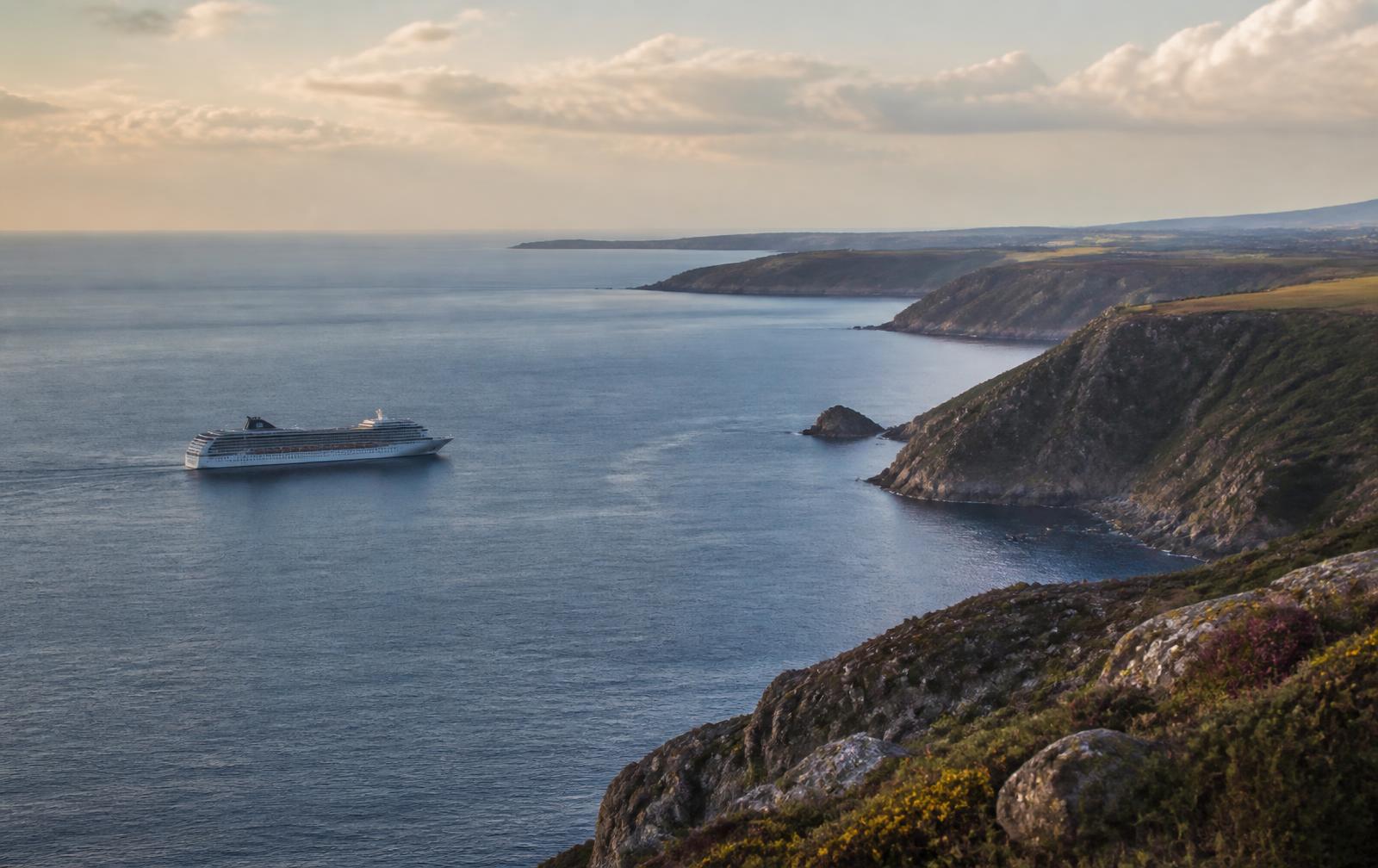
Ocean
Ocean cruising
Organised around a sea and its coastlines.
- Region
- Cruise area
- Gateway and port of call
The Mediterranean → the western Mediterranean → Barcelona
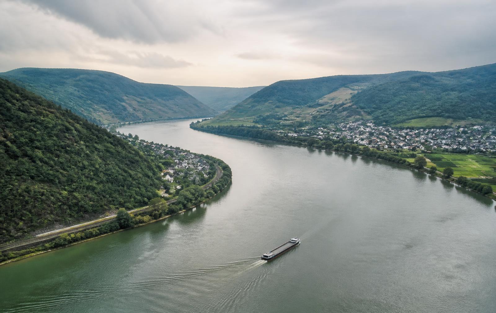
River
River cruising
Organised around a single navigable corridor.
- River system
- Main stretch
- City or town mooring
The Danube → the Upper Danube → Passau
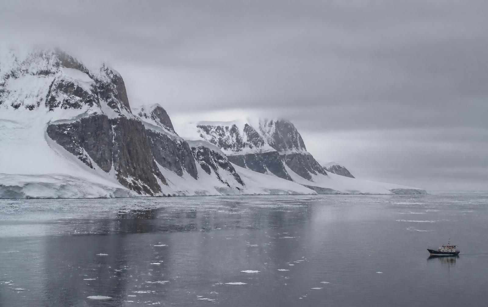
Expedition
Expedition cruising
Organised around remote areas that often have no port at all.
- Expedition region
- Expedition area
- Gateway port
Antarctica → the Antarctic Peninsula → Ushuaia
Why the split exists
Geography sets the physics of the voyage
The three systems are not marketing categories. Each one is governed by a different physical constraint, and that constraint shapes the shape of the week.
- Ocean: distance and exposure
- A ship can cover a limited distance between two mornings, so port density decides the rhythm. Where ports sit close together the route can call on consecutive days; where they are far apart the difference is paid for in sea days. Exposed water can also mean more motion and a higher chance of a call being altered, while sheltered coasts and inland seas are steadier. Gateway geography matters as much as the ports themselves: sailings cluster at the few cities with terminal capacity and air links.
- River: a corridor with a ceiling and a floor
- A river is one line rather than an open field, so the route is a sequence rather than a choice of directions. Locks meter the vessel through changes in level and take time; bridge clearance limits how tall a vessel can be; channel depth and water level decide whether a stretch is navigable at all, which is why an itinerary can be altered by rainfall. Settlements sit directly on the bank, so mooring is often inside a town and the walk ashore is short.
- Expedition: access rather than distance
- Much of an expedition region has no port, so the ship carries its own means of landing and the gateway is often a long way from the operating area. Where and when a vessel may go is governed by conditions — ice, swell, wind — and by permits and environmental rules rather than by a berth schedule. Itineraries are therefore stated as an area and a set of intentions rather than a fixed list of names.
Ocean, in detail
Region, area, port
The ocean hierarchy is the one you will meet most often, and each level answers a different question.
Level one
Region
A large body of water and its surrounding coastlines — the Mediterranean, the Caribbean, Alaska.
Level two
Cruise area
A smaller grouping such as the western Mediterranean or the Inside Passage, defined by which ports can realistically be linked in one voyage.
Level three
Port
A single place the ship calls at — either a departure gateway, a port of call, or both.
Ports that can be strung together in a week end up in the same cruise area
On a river the same constraint applies in one dimension only, and in expedition regions the limit is set by conditions and permits rather than by distance alone.
What follows from the structure
Three consequences worth knowing early
- Season is part of the definition
- Regions are seasonal because ships move. A ship that sails Alaska in the northern summer may sail the Caribbean in winter. The region you choose largely determines when you can travel, and the time of year determines how many sailings and which ports are available.
- Departure gateways shape everything
- Most sailings in a region start from a small number of gateway ports with the terminal capacity and air links to handle thousands of passengers on the same day. Your realistic options are strongly influenced by which gateway you can reach conveniently, and by whether the itinerary returns there or ends somewhere else.
- Comparing regions is not ranking them
- Regions differ in climate, sailing distances, port density, typical cruise length and how much time is spent at sea. That makes them suited to different constraints rather than better or worse.
See the structure
The same hierarchy, drawn
The world cruise map shows all three systems together — ocean regions and their cruise areas, the major river systems, and the expedition regions.
Each region, river and expedition page sets out the same hierarchy in detail.