Skip to content
SnapVoyagesIndependent cruise information
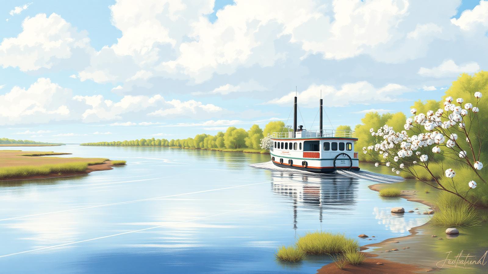
Illustrative AI-generated scene of a wide North American river with a paddlewheel vessel, levee banks and cottonwood trees

River cruise system

Mississippi River Cruises

The Mississippi is the main river-cruise system of North America, and the longest cruised corridor of any river in the world. Voyages run between New Orleans and St. Paul, and onto the Ohio and Cumberland towards Nashville.

The short answer

Two rivers share one name here. Below St. Louis the Mississippi is enormous, fast and free-flowing, held between levees so high that the towns behind them are invisible from the deck. Above St. Louis it is narrower and greener, controlled by a staircase of locks and dams, with wooded bluffs close to the water.

The stops are almost all reached by transfer. Landings are working river frontage rather than town quays, and the destinations — antebellum houses, Civil War battlefields, music history in Memphis and Nashville — are a short bus ride inland.

At a glance

Where it runs
The central United States, from the Gulf coast to Minnesota
Length
About 3,770 km; the cruised corridor runs roughly 3,000 km
Countries
United States
Cruised stretch
New Orleans to St. Paul, plus Ohio and Cumberland connections
Season
Roughly March to December
Main start and end points
New Orleans, Memphis, St. Louis, St. Paul, Nashville

The Mississippi as a corridor

  1. River

    Mississippi

    The central United States, from the Gulf coast to Minnesota

  2. Cruised stretch

    New Orleans to St. Paul, plus Ohio and Cumberland connections

  3. Stretches

    3 in downstream order

    Lower Mississippi → Upper Mississippi → Ohio, Tennessee and Cumberland connections

  4. Places along it

    8 cities and stops

    Listed in downstream order further down this page.

Why a river is not a region

One waterway, in a fixed order

A cruise region can be entered from several directions. A river corridor can only be travelled upstream or downstream along the same line.

The system extends beyond the Mississippi itself. The Ohio, Cumberland and Tennessee rivers are part of the same inland network and are used by voyages reaching Louisville, Nashville and Chattanooga.

The Mississippi corridor

The river's own course, with the cities river cruises use. Select a stretch to focus on it.

New OrleansNatchezVicksburgMemphisSt. LouisDubuqueSt. PaulNashville

Every city on the map

  • New OrleansUnited States, start or end point.
  • NatchezUnited States, stop along the way.
  • VicksburgUnited States, stop along the way.
  • MemphisUnited States, stop, and a start or end point.
  • St. LouisUnited States, stop, and a start or end point.
  • DubuqueUnited States, stop along the way.
  • St. PaulUnited States, start or end point.
  • NashvilleUnited States, start or end point.

The line is the river's own course, not the track of any voyage. Cities are the ones needed to understand the corridor, not a complete list of everywhere a vessel can tie up.

What cruising the Mississippi actually means

Two rivers in one corridor
Below St. Louis the river is free-flowing and levee-lined; above it, a chain of locks and dams controls the level. The two halves look and feel different.
Landings, not city quays
Most stops are at commercial river frontage some way from the town, so almost every day ashore begins with a transfer.
Paddlewheel vessels are the norm
American river vessels are typically larger than European ones and often carry a stern paddlewheel, a form specific to this river system.
History rather than landscape
The subject matter of a Mississippi voyage is Southern and Civil War history, river-town life and American music. The banks themselves are mostly levee, forest and farmland.
A working freight artery
The corridor carries very large barge tows, and lock queues on the upper river are shared with them.
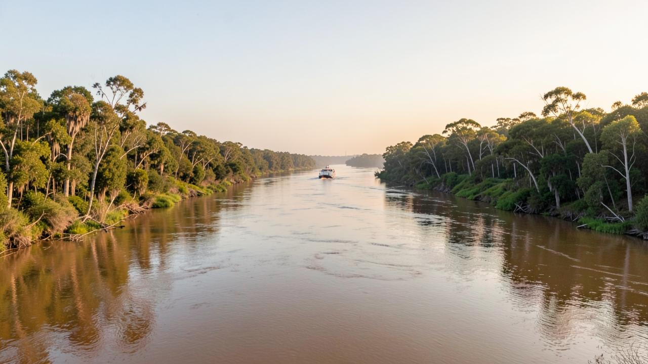
A very wide muddy river with dense forest and levee banks under a broad sky
Below the locked upper river the channel runs wide and free between levees, and the towns sit back from the water rather than on it.

Why the upper and lower Mississippi are two different rivers to cruise

Above St. Louis the Mississippi is a managed navigation channel: a series of locks and dams holds the river in a stepped chain of pools deep enough for barge traffic. Below it, the river runs free of locks all the way to the Gulf, wide and heavy with a strong current and shifting sandbars.

That difference changes the sailing. On the upper river the vessel works through lock chambers between bluff-lined pools and small towns; on the lower river it makes long, uninterrupted runs between widely spaced landings, with hours of levee, forest and open water in between.

It also explains the vessels and the landings. Many are paddlewheel-style boats that go alongside simple landings rather than into ports, because much of the corridor has no cruise infrastructure at all — the towns face the levee, not a terminal. Long voyages are usually one-way, since the corridor runs thousands of kilometres in a straight-ish line and there is nothing to be gained by retracing it.
How the parts of the Mississippi system differ. Qualitative comparison of the waterway.
 The channelHow the days runWhat it connects
Lower MississippiFree of locks; wide, powerful and shifting.Long runs between landings, with substantial time under way.New Orleans and the antebellum river towns of the Deep South.
Upper MississippiA stepped chain of pools behind locks and dams.Shorter hops, with lock transits between them.Bluff country and the river towns of the Midwest.
Ohio and CumberlandTributary navigation, also locked.Used to reach inland cities off the main stem.Nashville and the interior, joined to Mississippi routes.

The main stretches

A river has an order rather than fuzzy edges. These are the stretches the corridor divides into, in the direction the water flows.

Lower Mississippi

New Orleans upstream through Natchez and Vicksburg to MemphisUnited States

A very wide, fast, levee-lined river through the Deep South. Towns are set back behind the levees and the interest is antebellum, Civil War and music history rather than the riverbank itself.

Navigation: Free-flowing with no locks below St. Louis, but with strong current and a shifting channel maintained by federal dredging.

Upper Mississippi

St. Louis upstream through Dubuque and La Crosse to St. PaulUnited States

A narrower, greener river of wooded bluffs, backwaters and small Midwestern river towns, running along the borders of several states.

Navigation: A regulated staircase of locks and dams built for navigation, so depth here is controlled rather than natural.

Ohio, Tennessee and Cumberland connections

The Mississippi confluence upstream to Louisville, Nashville and ChattanoogaUnited States

Connecting rivers used by some voyages to reach Nashville, Louisville and the Tennessee valley. They are separate rivers navigationally, joined to the same inland system.

Navigation: Also locked and dammed, with lock queues shared with heavy commercial barge traffic.

Cities and stops along the river

The main places along the corridor, in downstream order within each stretch.

Cities and stops used by Mississippi river cruises
PlaceCountryStretchRoleWhy it matters
New OrleansUnited StatesLower MississippiStart or end pointThe southern gateway of the system and the busiest turnaround on the river.
NatchezUnited StatesLower MississippiStop along the wayA bluff-top town on the lower Mississippi in Mississippi state.
VicksburgUnited StatesLower MississippiStop along the wayA Civil War siege site above the river, reached by transfer from the landing.
MemphisUnited StatesLower MississippiStop, and a start or end pointA city on the lower Mississippi in Tennessee, also used as a start or end point.
St. LouisUnited StatesUpper MississippiStop, and a start or end pointThe division point between the free-flowing lower river and the locked upper river.
DubuqueUnited StatesUpper MississippiStop along the wayA city on the upper Mississippi in Iowa, near the tri-state area.
St. PaulUnited StatesUpper MississippiStart or end pointThe northern limit of cruise navigation on the Mississippi.
NashvilleUnited StatesOhio, Tennessee and Cumberland connectionsStart or end pointOn the Cumberland River, reached from the Ohio; a common start or end point for connecting voyages.

How voyages are structured

The shapes voyages take along this corridor: where they start, which way they run and how far they reach.

Lower Mississippi voyages

New Orleans to Memphis and back or through, taking in the antebellum towns and Civil War sites of the Deep South.

Upper Mississippi voyages

St. Louis to St. Paul through the locked reach, with bluff scenery and small Midwestern river towns.

Ohio and Cumberland connections

Voyages that leave the Mississippi for the Ohio and Cumberland to reach Louisville, Nashville or the Tennessee valley.

When voyages operate

The lower river operates earliest and latest in the year, since the Deep South climate is mild in winter and hot in summer.

The upper river is a summer and autumn route: it can ice over in winter and the locks close.

Spring flooding on the lower river and summer low water on the upper river are both normal, and either can change a schedule.

Cruise activity through the year — the Mississippi
Essentially no cruisesLow seasonShoulder periodPeak cruise activity
Read this as a table
Relative cruise activity by month in the the Mississippi cruise region
MonthCruise activity
JanEssentially no cruises
FebLow season
MarShoulder period
AprPeak cruise activity
MayPeak cruise activity
JunPeak cruise activity
JulPeak cruise activity
AugPeak cruise activity
SepPeak cruise activity
OctPeak cruise activity
NovShoulder period
DecLow season

An indicative pattern of when voyages operate, drawn from waterway and season information rather than any operator's schedule.

Practical conditions that shape a voyage

Conditions on this river that can change what actually happens on a voyage.

Expect transfers, not walk-offs

Unlike Europe, the mooring is rarely in the middle of town. Judging the itinerary means looking at how far each landing is from the place being visited.

Distances are much greater

A Mississippi voyage covers far more ground than a European one, so more of each day is spent under way and stops are further apart.

Flood and drought both matter

High water in spring and low water in late summer are both routine on this system, and gauge data is published publicly by federal agencies.

Heat and humidity in the south

Summer on the lower river is hot and humid, which affects how much of the day ashore is comfortable.

What to know about the Mississippi

Key facts

  • About 3,770 km long, from Minnesota to the Gulf of Mexico.
  • Below St. Louis there are no navigation locks; above it there is a long chain of them.
  • St. Paul is the northern limit of cruise navigation.
  • The Ohio, Cumberland and Tennessee rivers extend the same inland system.
  • Cruise landings are usually commercial river frontage rather than town quays.
  • Federal agencies publish river stage and lock status for the whole system.

What to check when comparing voyages

  • Which reach the voyage covers — lower, upper, or a connecting river.
  • How far each landing is from the town it serves.
  • Whether the itinerary is a one-way corridor or an out-and-back.
  • The season, since climate and water conditions differ sharply between reaches.
  • What the operator states about high or low water affecting the schedule.
  • Danube river cruises

    A west-to-east corridor from Germany to the Black Sea, cruised mainly between Passau, Vienna, Budapest and the Danube Delta.

  • Rhine river cruises

    A south-to-north corridor from Basel to the Dutch delta, built around the Upper Middle Rhine Valley gorge.

  • Seine river cruises

    A short French corridor from Paris downstream through Normandy to Rouen and the Seine estuary.

  • Rhône & Saône river cruises

    A north–south French corridor from Burgundy through Lyon to Provence and the Camargue.

  • Douro river cruises

    A short Portuguese valley from Porto upstream through the terraced Alto Douro wine country to the Spanish border.

  • Main and the Main–Danube Canal river cruises

    The German connecting corridor from the Rhine at Mainz through Franconia and the Main–Danube Canal to Kelheim.

  • Moselle river cruises

    A narrow German wine valley from the Rhine at Koblenz upstream past Cochem and Bernkastel to Trier and Luxembourg.

  • Elbe river cruises

    A Czech–German corridor from Prague and the sandstone gorge through Dresden and Magdeburg to Hamburg.

  • Nile river cruises

    A short Egyptian reach between Luxor and Aswan linking the temple sites, plus a separate Lake Nasser circuit.

  • Mekong river cruises

    A Vietnam–Cambodia corridor from the Mekong delta through Phnom Penh towards the Tonlé Sap and Angkor.

  • Columbia & Snake river cruises

    A Pacific Northwest corridor from Astoria and Portland through the Columbia Gorge and up the Snake to Idaho.

  • How river cruising differs from ocean cruising

    The structural differences: locks, water level, city-centre mooring and no sea days.

Sources & verification

Facts on this page are taken from the sources below. Cruise lines are used only as sources for facts about their own operations, never as sources of independent assessment.