Itineraries
How to read a cruise itinerary
Two cruises can both say seven nights and five ports, and give you two different weeks. The difference is already printed on the page — in the geometry, the distances and the clock.
The short answer
A published itinerary is usually read as a headline — a number of nights and a number of ports — and those two numbers are the least informative things on it. They say nothing about how far the ship has to travel, how much of the week it spends travelling, or how many hours you can actually stand on land.
Everything that does matter is already there: the shape of the route, the distance between the calls, the arrival and departure times, and whether the ship ties up or lies at anchor. Read in that order, an itinerary stops being a list of place names and becomes a fairly precise description of a week.
By The SnapVoyages TeamPublished September 2026
The device this whole guide runs on
Two itineraries with the same headline
Below are two seven-night round trips. Both call at five ports. Both have one day at sea. Every published number a booking page would show is identical — and they are not the same holiday.
These are teaching models, not sailings. They are constructed, with invented ports and invented distances, so that each variable can be moved on its own and its effect seen. No cruise line publishes them and no ship sails them. The point is not the models: it is that the differences between them are the differences you can find in any real itinerary once you know which lines to read.
Teaching model — not a sailing
Model A · Compact loop
Five ports strung along one stretch of coast, each within a single night's steaming of the next. The loop closes on itself with distance to spare.
7 nights · 5 ports · 1 day at sea
- D0
Gateway
departs 17:00
Embark
Embarkation day.
- D1
Port A1alongside
08:00 – 18:00 · 10 h scheduled
Port call
- D2
Port A2alongside
07:00 – 19:00 · 12 h scheduled
Port call
- D3
Port A3alongside
08:00 – 18:00 · 10 h scheduled
Port call
- D4
At sea
At sea
A slow leg. The distance to the next port does not need the whole day, so the ship crosses it under half speed.
- D5
Port A4alongside
07:00 – 19:00 · 12 h scheduled
Port call
- D6
Port A5alongside
08:00 – 18:00 · 10 h scheduled
Port call
- D7
Gateway
arrives 06:00
Disembark
Teaching model — not a sailing
Model B · Spread loop with a long leg
The same gateway and the same five-port count, but the ports are scattered across a wider sea. One leg is long enough to eat a whole day, two of the calls have no cruise berth, and one morning is spent on scheduled scenic cruising.
7 nights · 5 ports · 1 day at sea
- D0
Gateway
departs 16:00
Embark
Embarkation day.
- D1
At sea
At sea
A distance leg. The ship is crossing open water at close to a working speed for the whole day because the first port is 720 nm away.
- D2
Port B1at anchor
10:00 – 18:00 · 8 h scheduled
Port call
- D3
Port B2alongside
07:00 – 13:00 · 6 h scheduled
Port call
- D4
Port B3alongside
12:00 – 23:00 · 11 h scheduled
Port call
Scenic cruising 06:00–09:00
A late call: the evening ashore is the point of the day, and the morning is spent on deck rather than in a port.
- D5
Port B4at anchor
08:00 – 18:00 · 10 h scheduled
Port call
- D6
Port B5alongside
09:00 – 17:00 · 8 h scheduled
Port call
- D7
Gateway
arrives 07:00
Disembark
Read the two columns against each other and the divergence is immediate. Model A never arrives later than 08:00 and never leaves before 18:00. Model B has a six-hour morning call, two calls where the ship never touches a quay, a morning given to scenery rather than a port, and one evening that runs to 23:00. Same headline. Different week.
The rest of this guide takes the models apart one variable at a time, in the order the variables actually cause each other: shape first, then distance, then the sea day, then the clock, then the hours you can use.
Variable one
Route shape: a loop or a line
Before anything else, look at where the itinerary ends. A route that returns to its start and a route that finishes somewhere else are different objects, and almost everything downstream follows from which one you are looking at.
Closed loop
The ship leaves a gateway and comes back to it. Both model itineraries on this page are loops.
- A closed loop has to spend part of the available sailing time returning to the gateway; a one-way route does not.
- One set of flights, one airport, one hotel decision.
- The ports must lie within reach of a circle drawn around the gateway.
One-way line
The ship starts at one gateway and finishes at another. Repositioning voyages, most Alaska Gulf sailings and many long-distance routes take this shape.
- The whole distance goes somewhere: no steaming is spent returning.
- Two gateways to reach, and the arrival airport is not the departure one.
- The route can be a corridor rather than a circuit, so the ports need not be near each other.
A loop is not a shorter route than a line; it is a route that has to come home. That single constraint is why two ships of the same speed, sailing the same number of nights, can reach very different amounts of coastline.
This is also why a loop tends to have a recognisable rhythm — out, along, back — while a line can be evenly spaced from end to end. When you see a seven-night loop whose most distant port is a long way from the gateway, you already know something about the rest of the week before you read a single time: the ship is going to be moving a lot.
Variable two
Distance is the hidden number
No itinerary prints its own length. But the distance between the calls is what decides how the week is divided, and it can be recovered with one division.
The arithmetic is not complicated. A nautical mile per hour is a knot; a ship that holds 18 knots covers 18 nautical miles an hour, so a fourteen-hour night between an 18:00 departure and an 08:00 arrival is worth roughly 250 nautical miles. Anything further apart than that cannot be joined overnight, and the itinerary has to spend daylight on it.
Real ships differ, and a maximum speed is not a working speed. MSC Cruises publishes a maximum of 21.8 knots for MSC Seashore, which is the fastest that particular hull is stated to go, not the speed it holds across a week — schedules are usually built well below the maximum because fuel consumption rises steeply with speed. For reading an itinerary, an assumed working speed somewhere around eighteen knots is enough to tell a comfortable leg from a hard one.
One night of steaming ≈ 200–250 nautical miles
Between a late-afternoon departure and a morning arrival there are roughly twelve to fifteen hours. Divide the gap between two ports by that and you know whether the itinerary is relaxed or committed.
Model A — 1,270 nm over 103 hours under way
Distances are properties of the model, chosen so the printed clock times are achievable below 18 knots.
- Gateway → Port A1200 nm · 15 h · 13.3 kn
- Port A1 → Port A2180 nm · 13 h · 13.8 kn
- Port A2 → Port A3190 nm · 13 h · 14.6 kn
- Port A3 → Port A4370 nm · 37 h · 10.0 kn
- Port A4 → Port A5170 nm · 13 h · 13.1 kn
- Port A5 → Gateway160 nm · 12 h · 13.3 kn
Darker bars are legs the model has to hurry; lighter bars are legs it can dawdle across. Where the required speed approaches a working speed, the itinerary has no slack left to give to a port.
Model B — 1,810 nm over 110 hours under way
Distances are properties of the model, chosen so the printed clock times are achievable below 18 knots.
- Gateway → Port B1720 nm · 42 h · 17.1 kn
- Port B1 → Port B2210 nm · 13 h · 16.2 kn
- Port B2 → Port B3280 nm · 17 h · 16.5 kn
- Port B3 → Port B4130 nm · 9 h · 14.4 kn
- Port B4 → Port B5240 nm · 15 h · 16.0 kn
- Port B5 → Gateway230 nm · 14 h · 16.4 kn
Darker bars are legs the model has to hurry; lighter bars are legs it can dawdle across. Where the required speed approaches a working speed, the itinerary has no slack left to give to a port.
The two models cover 1,270 and 1,810 nautical miles respectively in the same seven nights. That difference is not visible anywhere in the headline, and it is the single biggest cause of everything that follows: the ship in Model B has to buy its distance somewhere, and the only currency it has is time that would otherwise be spent alongside.
Variable three
A sea day is a symptom, not a feature
Both models have exactly one day at sea, and the two days exist for opposite reasons. Counting sea days tells you nothing until you know which kind you are counting.
Model A · day four
A sea day because there is nowhere else to be
The leg is 370 nautical miles across thirty-seven hours: the ship is crossing it at around ten knots, well under a working speed. The distance did not require the day. The day was placed in the week and the distance stretched to fill it.
Model B · day one
A sea day because the first port is far away
720 nautical miles in forty-two hours is about seventeen knots, held continuously. This day is not an interlude; it is a transit, and if it were removed the itinerary would not reach its first port at all.
The distinction matters because it predicts where the flexibility in the week sits. A low required average speed indicates schedule margin in the model: the crossing does not need the whole day. A transit sea day has little margin in the model, because the printed times already require close to a working speed. What margin a real operator keeps is not something the printed page reveals.
It also predicts what the day feels like on board, though that is a matter of taste rather than fact: one is a quiet crossing of a short distance and the other is a ship making passage. Either way, the way to tell them apart is the same division as before — the gap between the two ports either side, divided by the hours between the printed departure and the printed arrival.
Variable four
The two most useful numbers on the page
Arrival and departure times are printed in small type next to the port names, and they carry more information than the port names do.
Why does the printed window overstate the day?
The printed times are the ship's times, not yours. Arrival is when the ship is expected to be secured or anchored, after which people still have to get off; departure is when the ship intends to leave, by which point everybody must already be back on board.
Passengers normally need to be back aboard before the published departure time, and the deadline is set by the operator for the sailing in question. Royal Caribbean states approximately 30 minutes prior to sailing in its own guidance; that is one operator's policy rather than a general rule, and the daily programme issued on board is the authority for any particular day.
So a printed window of 08:00 to 18:00 is not ten hours of shore time. It is ten hours minus the getting off, minus the getting back, minus the buffer the ship keeps for itself.
- A late departure is a different day
- An itinerary that leaves a port at 23:00 has bought an evening ashore. It is one of the few ways a shorter itinerary can contain more usable time than a longer-looking one.
- Early and late hours are not interchangeable
- Opening hours, transport, organised activities and evening life differ from place to place, so an hour added at the start of a call and an hour added at the end are not the same hour. Which end you are getting is printed; what it is worth depends on the destination.
- An overnight is not a longer call, it is two calls
- Where a ship stays in port overnight, the itinerary usually prints the same place on two consecutive lines. Read them as a single continuous window rather than as two separate port days.
- Times are intentions, not guarantees
- Weather, berth availability and traffic can move an arrival. The published itinerary describes what is planned; the daily programme on board describes what is happening.
Variable five · the central measurement
The hours-ashore ledger
Five ports is a count of names. What a reader usually wants is a quantity: how many hours can I stand on land, and where. Turning the first into the second is a subtraction, and it is the most useful habit this guide can leave you with.
Port A2 — alongside, terminal inside the town
Model A · 12 h printed
- Back aboard before departure
- −0.5 h
- Gangway off and on
- −0.5 h
- Terminal to the place you came for, both ways
- −0.5 h
- Illustrative net time ashore in this model
- 10.5 h
Port B1 — at anchor, shore boats to a town quay
Model B · 8 h printed
- Back aboard before departure
- −0.5 h
- Tender queue and crossing ashore
- −1.25 h
- Tender queue and crossing back
- −1.25 h
- Quay to the place you came for, both ways
- −0.5 h
- Illustrative net time ashore in this model
- 4.5 h
Port B2 — alongside, short morning call
Model B · 6 h printed
- Back aboard before departure
- −0.5 h
- Gangway off and on
- −0.5 h
- Terminal to the town, both ways
- −1 h
- Illustrative net time ashore in this model
- 4 h
The numbers above are assumptions written into the models so the arithmetic can be seen. No published source gives standard durations for clearance, a gangway or a shore-boat cycle, and they vary by port, by ship and by day. The structure of the subtraction is the part that transfers: a printed window is a gross figure, and what a reader wants is the net one.
Run the same subtraction across all five calls of each model and the headline finally breaks. Model A prints 54 scheduled hours in port; Model B prints 43. After the deductions, the gap widens further, because Model B's deductions are larger per call: two of its calls are at anchor, and a shore boat costs time at both ends of the day in a way a gangway does not.
None of this makes Model B the worse itinerary. It reaches further, it has a late evening ashore and it includes a scenic morning that Model A does not. It is a different trade, and the trade is legible in advance.
Variable six
Alongside or at anchor is geography, not service
Whether a ship ties up or lies offshore depends on the depth and shape of the water, the quay available, the size of the ship, the traffic on the day and the rules of the port.
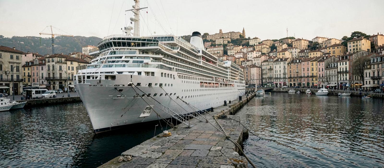
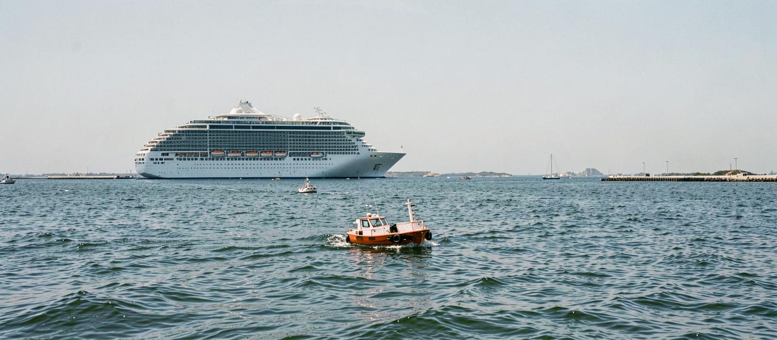
Some of the best-known ports in cruising have no cruise berth at all. The Municipal Port Fund of Thira states plainly that cruise ships anchor in the heart of the Santorini caldera: the caldera is a drowned volcanic crater with walls that fall away steeply, and there is nowhere for a large ship to lie against. That is a fact about the island, not about the cruise line.
Where there is a quay, space on it is finite and allocated. Thira's published berthing policy for 2025–2026 sets out conditions and criteria for cruise-ship arrivals in order to respect the destination's capacity — an explicit statement that berth access is managed rather than first-come. An itinerary that shows a well-known port at anchor is usually showing you the consequence of one of these two facts.
The practical effect is the one in the ledger above: a shore-boat operation adds a queue, a crossing and a second queue at the end of the day. How long that takes depends on the distance to the quay, the number of boats, the sea state and how many ships are sharing the anchorage, and no published source gives a standard figure. Tendering is not a convention requirement or a safety rating; it is an operational arrangement between a ship and a port.
Variable seven
Scenic cruising is a scheduled item
A line on the itinerary that names a place but gives no port is neither a sea day nor a call. It is a timed passage through somewhere, and it has its own rules.
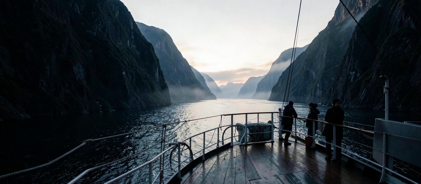
Model B spends 06:00 to 09:00 on scenic cruising before a midday arrival. That morning is not spare: it is why the ship is where it is at that hour, and it is why the port call that follows starts at noon rather than at eight. Reading the scenic line as decoration rather than as a scheduled element is how a reader misjudges the shape of the day.
These passages are also among the most regulated parts of an itinerary, because the places worth cruising through slowly tend to be protected. Entry to Glacier Bay is capped by regulation: 36 CFR §13.1160 sets a daily quota of two cruise ships and a seasonal quota of up to 184 for 1 June to 31 August. A ship cannot simply add the passage to a route, and an itinerary that includes it is holding a permit.
Access can also depend on the ship rather than the schedule. Norway has adopted zero-emission requirements for the World Heritage fjords, applying from 1 January 2026 to vessels under 10,000 gross tonnes and from 1 January 2032 to vessels of 10,000 gross tonnes and above. Where such a rule applies, which ships can enter is a technical question about the vessel, and the itinerary reflects the answer.
The two models, resolved
Same headline, different week
Everything the previous sections separated, brought back together in one place. The first row is what a booking page shows. The remaining rows are what the itinerary actually said.
| Model A · Compact loop | Model B · Spread loop with a long leg | |
|---|---|---|
| Headline as published | 7 nights, 5 ports | 7 nights, 5 ports |
| Route shape | Compact loop | Spread loop with a long leg |
| Distance covered | 1,270 nm | 1,810 nm |
| Hours under way | 103 h | 110 h |
| Longest single leg | 370 nm | 720 nm |
| Scheduled hours in port | 54 h across five calls | 43 h across five calls |
| Shortest call | 10 hours | 6 hours |
| Calls at anchor | None | Two of five |
| Where the sea day falls | Mid-week, and it exists because the loop is short | Day one, and it exists because the first port is far |
| Scheduled non-port element | None | One scenic-cruising morning |
| Evening ashore | None; the latest departure is 19:00 | One late call departing 23:00 |
There is no winner in that table, and constructing one would be the wrong lesson. A reader who wants long unhurried days in a few places and a reader who wants to reach somewhere distant are looking for opposite itineraries, and both of them are badly served by a headline that says 7 nights, 5 ports.
What the table does is make the trade visible before booking rather than after boarding. Every figure in it came from information printed on the itinerary itself, plus one assumption about speed and a handful of stated assumptions about how long it takes to get off a ship.
Why itineraries look the way they do
The parts nobody chose
Some of the shape of an itinerary is design. Some of it is regulation, geography and berth allocation, and reading it as a marketing decision leads you to the wrong conclusions.
Closed loops in the United States
46 U.S.C. §55103, the Passenger Vessel Services Act, restricts the transportation of passengers between US ports to qualifying US-flag vessels; CBP's own compliance guidance explains how foreign-flag cruise ships operate within it, including the role of a distant foreign port. It constrains how foreign-flagged vessels can combine US ports, and therefore shapes some US itinerary patterns.
Quotas on protected water
Where a scenic passage runs through a protected area, the number of ships admitted can be fixed in law rather than negotiated. Glacier Bay's daily and seasonal vessel quotas are set in federal regulation and administered by the National Park Service.
Rules about the ship, not the route
Emission requirements in Norway's World Heritage fjords apply by vessel and by date, phased from 2026 and 2032 depending on gross tonnage. Two itineraries offering the same fjord may not both be able to enter it.
Berth allocation at the port
Quay space is allocated under the port's own policy. Thira's published berthing decision for 2025–2026 sets conditions and criteria for cruise arrivals. An arrival time is therefore partly the port's decision, not only the line's.
None of these rules is quantified here as a share of the market. They are named because each one explains a pattern a reader will otherwise misread — and because knowing that a constraint exists is what stops an itinerary from looking arbitrary.
Taking it to a real itinerary
What to look at, in order
The models are done. This is the same reading applied to a published route, in the sequence that makes each step answerable from the one before it.
- 1 · Where does it end?
- Same port as the start, or a different one. This decides how much of the distance is spent returning, and how many airports you are dealing with.
- 2 · How far apart are the ports?
- Find the two ports furthest from each other in the list. If the gap is more than a night's steaming, the itinerary has to spend a day on it somewhere.
- 3 · Why is each sea day there?
- Divide the distance between the ports on either side by the hours between departure and arrival. A high figure indicates a transit; a low one indicates schedule margin.
- 4 · What are the printed clock times?
- Write down arrival and departure for every call. A six-hour call and a twelve-hour call in the same list are not the same kind of day.
- 5 · Which calls are at anchor?
- Itineraries and port pages often say. Where they do not, the port's own authority usually does. Anchor calls need a larger deduction from the printed window.
- 6 · Are there non-port scheduled elements?
- Scenic cruising, canal transits and slow passages occupy real hours and shape the day around them. Count them as part of the schedule, not as spare time.
- 7 · Then, and only then, the total
- Add up your net hours ashore and your hours under way. That pair of numbers describes the week far better than the number of nights and the number of ports.
- 8 · Check what can change
- Times, berths and occasionally ports move for weather and operational reasons. Read the itinerary as the plan it is, and take the daily programme on board as the current version.
If you would like the orientation version of this material — what embarkation, all-aboard, tendering and repositioning mean, without the arithmetic — that lives on how cruise itineraries work. This guide is the layer above it.
How cruise itineraries work
The orientation answer: route types, port days, sea days and why itineraries change.
When is cruise season around the world?
Why a region is or is not sailing in a given month, across twenty-four cruise systems.
The cruise map
Where the gateways, ports of call and corridors actually are, across ocean, river and expedition cruising.
Sources & verification
Facts on this page come from the sources below. The two itineraries are teaching models built for this article and are not sailings; their distances, times and deductions are stated assumptions, not measurements. Cruise lines are used only as sources for facts about their own operations.
- MSC Cruises — official website — read 2026-09-01
- Municipal Port Fund of Thira — Santorini ports — read 2026-09-01
- Municipal Port Fund of Thira — cruise ship berthing policy 2025–2026 — read 2026-09-01
- Royal Caribbean International — official website — read 2026-09-01
- 36 CFR §13.1160 — Glacier Bay vessel quotas and operating requirements — read 2026-09-01
- U.S. National Park Service — Glacier Bay National Park and Preserve — read 2026-09-01
- Norwegian Maritime Authority — requirements for vessels in the World Heritage fjords — read 2026-09-01
- Norwegian Government — zero-emission requirements in the World Heritage fjords — read 2026-09-01
- 46 U.S. Code §55103 — Passenger Vessel Services Act (transportation of passengers) — read 2026-09-01
- U.S. Customs and Border Protection — Informed Compliance Publication: The Passenger Vessel Services Act — read 2026-09-01
- U.S. Customs and Border Protection — read 2026-09-01